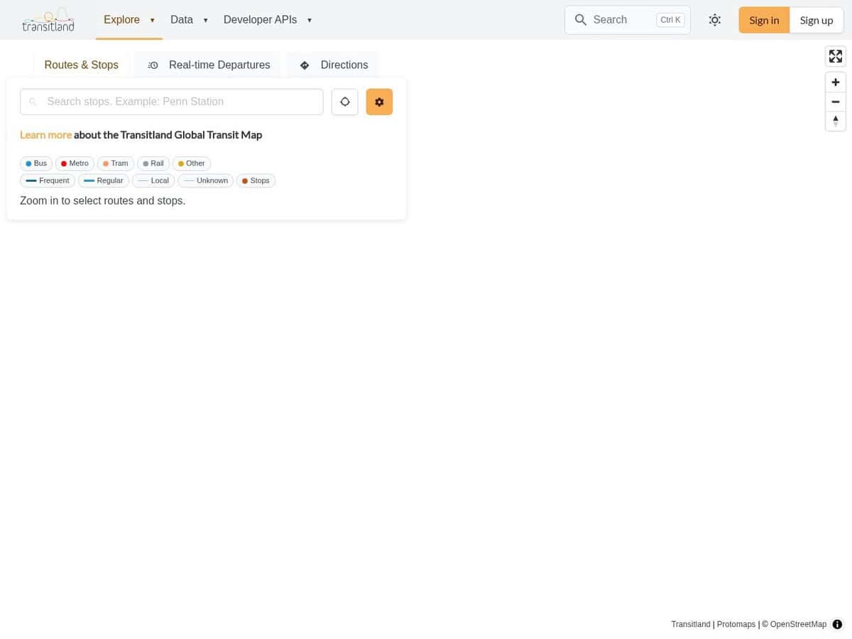
Transitland compared with Google Transit and Moovit| Transitland | Google Transit | Moovit |
|---|
| Role: A directory of transit operators and feeds assembled from many sources. Products built on it include REST and GraphQL APIs, vector tiles, a routing platform and country-wide datasets, all sharing the same Onestop IDs. | Role: The way agencies publish GTFS feeds so that schedules appear in Google Maps. | Role: A rider app that is free for users, with income from mobility-as-a-service tools sold to cities and operators. A 2019 report cited about 520 million users, 3,000 cities and more than 7,000 operators. |
| Openness and licence: The transitland-lib library is open source under GPLv3, with a commercial licence also offered by Interline. The web app is on GitHub, while server configuration for the hosted API stays closed. Data licences are given per feed. | | |
| API access: The REST API needs an API key. JSON is the default output, with GeoJSON, newline-delimited GeoJSON and PNG map images also available, and a monthly quota set by plan. | API access: Partner Server APIs are aimed at partners. The integration guide does not describe general developer access to the data. | |
| Data inputs and tooling: Built on GTFS and GTFS Realtime feeds, with entities such as feeds, operators, routes, stops, trips and schedules, and direct access to GTFS files. | Data inputs and tooling: Feeds must follow Google quality requirements and the Ticketing extensions, pass automated validation and a Google QA review, and are then launched. Realtime data needs a separate eligibility form. | Data inputs and tooling: The Transit Data Manager lets an agency import existing data or build GTFS from scratch, validate and correct GTFS errors, manage several feeds and share them through the Moovit app or other GTFS-compatible platforms. |