NASA FIRMS compared with Global Nature Watch and EFFIS| NASA FIRMS | Global Nature Watch | EFFIS |
|---|
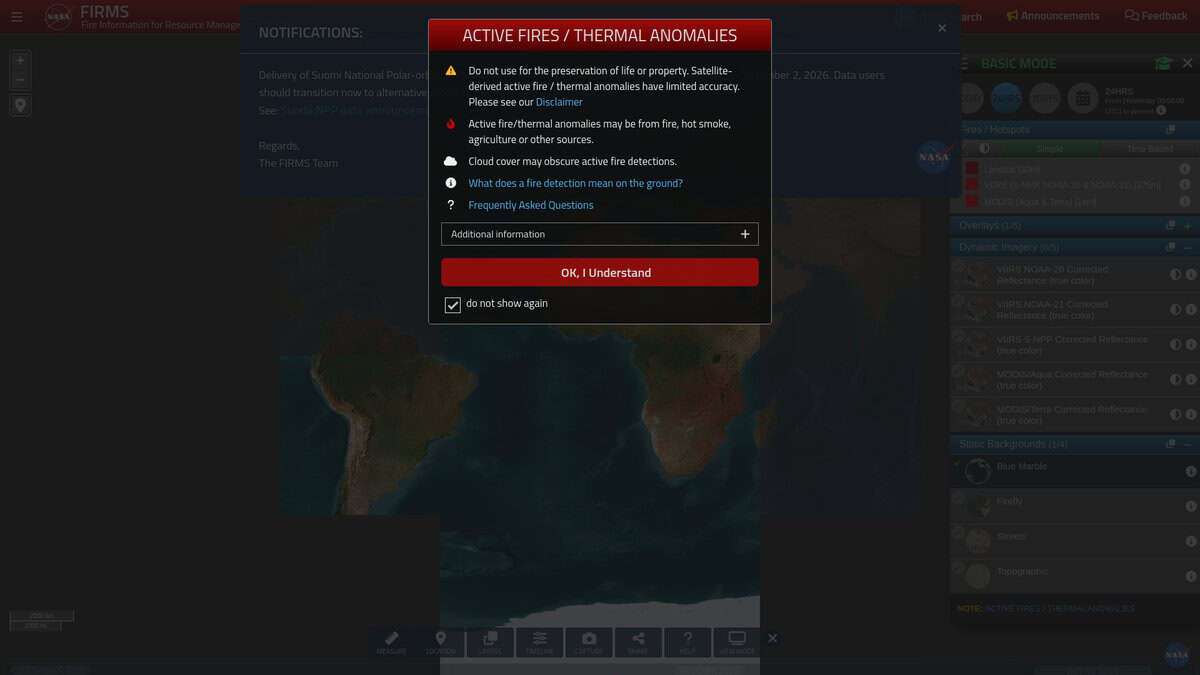
| Detection basis: Active fire detections come from MODIS on Terra and Aqua and from VIIRS on Suomi NPP and NOAA-20. MODIS detects at 1 km and VIIRS at 375 m, so VIIRS finds smaller and weaker fires. | Detection basis: Fire alerts are updated daily from VIIRS and MODIS. The platform adds tree cover loss from Landsat at 30 m, GLAD alerts at 30 m updated weekly and RADD alerts at 10 m for the tropics. | Detection basis: EFFIS covers the full cycle of forest fires in the EU and neighboring countries, with fire danger forecasts up to 9 days ahead, daily active fires and burned area, and post-fire damage analysis. |
| Latency and update: Ultra real-time detections arrive roughly 25 seconds (MODIS) to 50 seconds (VIIRS) after observation in the continental US with direct broadcast stations. Near real-time data elsewhere is typically available 3 to 4 hours after a pass. | Latency and update: Fire alerts refresh daily and deforestation alerts weekly, so it suits monitoring of land cover change more than tracking a fire as it unfolds. | Latency and update: The site gives daily updates of active fires, burned area and damage in Europe, with a separate long-term fire weather forecast for monthly and seasonal anomalies. |
| Scope and focus: FIRMS has US/Canada and global instances. The product consists of point detections with brightness temperature, fire radiative power, confidence and acquisition time. | Scope and focus: The scope is global forest and land monitoring run by the World Resources Institute, with carbon stock, protected areas and land use layers. Users can draw areas of interest and set email alerts. | Scope and focus: The focus is Europe and the Mediterranean, with a network of experts from 43 countries. Modules include the Current Situation Viewer, a wildfire risk viewer and a statistics portal. EFFIS is part of the Copernicus Emergency Management Service. |
| Access and formats: Downloads are offered as CSV, Shapefile and KML, with WMS, WFS and a REST API. All FIRMS data is free, and email alerts need a free account. | Access and formats: All data, maps and tools are free and open, and data can be downloaded or accessed through an API. Specific licence terms are not stated on the page checked. | Access and formats: Most applications are public, and country totals of burned area and fire counts can be requested through a data request form. The administration area is restricted to members of the Expert Group on Forest Fires. |
| Interpretation limits: Detections are points, not fire perimeters or burned areas, and the page recommends MODIS burned area products or Sentinel-2 analysis for perimeters. Heat sources such as gas flares and industrial sites can also appear. | Interpretation limits: Alerts reflect satellite detections and tree cover loss estimates. | Interpretation limits: The page notes that mapped fires may include fires set intentionally for vegetation management, so the figures are not limited to wildfires. |