Product Design, Manufacturing & Innovation Resources
Home » Online Tools » Mobility Database – GTFS Feeds Repository

Mobility Database – GTFS Feeds Repository

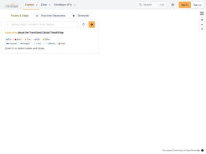
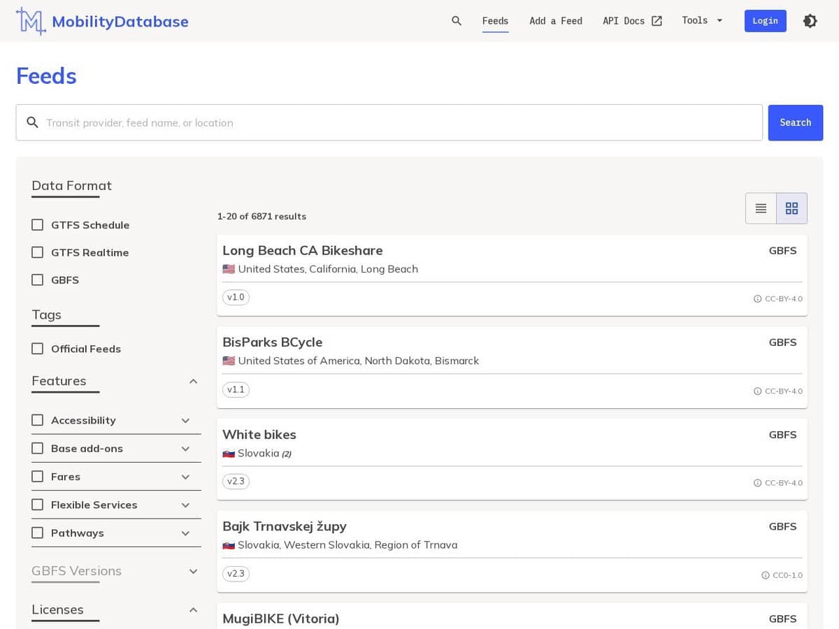
The Mobility Database is a centralized, open-access repository for global transit and shared mobility data, hosting over 6,000 feeds across 99 countries. It provides standardized datasets in General Transit Feed Specification (GTFS), GTFS Realtime, and General Bikeshare Feed Specification (GBFS) formats, enabling access to both scheduled and live operational information. The platform integrates a robust API and automated validation tools, such as the Canonical GTFS and GBFS Validators, which generate detailed data quality reports. By mirroring operator-hosted feeds, the service ensures high availability and mitigates risks associated with local website downtime or regional geoblocking.

A useful search engine, so as an API available for developpers.

Transportation engineers and urban scientists apply these feeds to model spatiotemporal networks and optimize city infrastructure through data-driven simulations.
Disciplines: Urban planning, Transportation engineering, GIS, Software engineering, Public transport.
Free alternative to Google Transit.
Mobility Database compared with Google Transit
Mobility DatabaseGoogle Transit
Role and content: An open database of over 6,000 transit and shared mobility feeds in GTFS, GTFS Realtime and GBFS formats, hosted and maintained by the nonprofit MobilityData. It mirrors operator-hosted feeds so that data stays available if a provider site goes down.Role and content: GTFS Static is the format through which transit agencies submit schedules so that they appear in Google Maps and other Google applications. Participation is free for public services that run on fixed schedules and routes.
Developer access: Browsing is free, while using the API or adding a feed needs an account. The API is documented on Swagger, and feed URLs are stable and checked daily.Developer access: Access for agencies is by application through a Transit form, followed by review. The partner integration guide does not describe a public catalogue of agency feeds for developers.
Data quality checks: Feeds are checked with the Canonical GTFS Validator and the GBFS Validator, and producers receive a quality report. A GTFS Realtime validator is also listed.Data quality checks: Each uploaded feed goes through automated validation that can take up to 30 minutes and produces a report. A Google quality review follows before public launch.
Status and licensing: Active, with commercial use permitted according to the FAQ. The full terms are on the Terms and Conditions page.Status and licensing: The program is documented on Google for Developers, with the GTFS Realtime option open to providers that already have a working static feed in Google Maps.

More GIS, OSINT tools

Suggest your best online tool:

Do you know a better, a complementary or a replacement website to the one listed above ?

> Suggest it here <

10th year anniversary

Full size images and downloads are only available, 100% free, for registered members.

> Login <