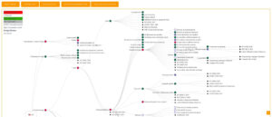
Earth Nullschool compared with Ventusky and NOAA GFS maps and data| Earth Nullschool | Ventusky | NOAA GFS maps and data (typical) |
|---|
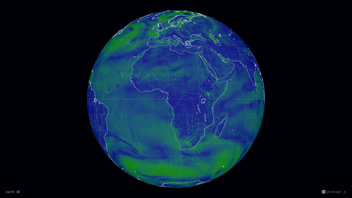
| Data basis: Weather comes from the NOAA GFS model. Ocean currents come from OSCAR and Copernicus Marine, waves from WAVEWATCH III, aerosols and chemistry from NASA GEOS-5 and Copernicus CAMS, and aurora from NOAA OVATION. Active fires are taken from NASA FIRMS. | Data basis: The user selects among several models: ICON (German DWD), GFS (NOAA), GEM (Canadian CMC) and the US regional HRRR. Radar and satellite based nowcasts for the US and Europe are also offered, and an automatic mode switches between ICON and GFS for the finest available grid. | Data basis: GFS is a single global model run by NCEP that couples atmosphere, ocean, land and soil, and sea ice components. |
| Update cycle: Weather and ocean waves are refreshed every three hours. Ocean currents and sea surface temperature update daily, and the aurora layer every 30 minutes. | Update cycle: The cycle depends on the model. The global ICON runs every 6 hours, ICON-EU every 3 hours, GFS every 6 hours, GEM every 12 hours and HRRR hourly, while the radar nowcasts update every 10 minutes. | Update cycle: GFS produces four cycles per day, at 00, 06, 12 and 18 UTC. Forecast steps are 3-hourly, and the range reaches up to 16 days depending on the dataset. |
| Resolution and forecast range: According to the help page, ICON is about 13 km globally and about 7 km for ICON-EU, GFS about 22 km, GEM about 25 km and HRRR about 2 km. ICON is limited to the nearest 72 hours, GFS and GEM reach 10 days, and HRRR 16 hours. | Resolution and forecast range: NCEI gives a base horizontal spacing of about 28 km, dropping to about 70 km for forecasts between one and two weeks. Gridded sets are published at 0.25, 0.5 and 1 degree, so the grid you use depends on the archive you choose. |
| Scientific limits: The author states that weather and ocean values are model output with no guarantee of accuracy. Some GEOS-5 forecasts are described as experimental and meant for research, some sea surface temperature data is preliminary, and wave boundaries can be artifacts. | Scientific limits: The help page does not state accuracy figures. Altitude selection applies only to temperature and wind, so vertical analysis is narrower than a full pressure-level view such as the one offered by Earth Nullschool. | Scientific limits: The data is raw model output, so interpretation (bias, initialization time, grid size) is left to the user. Long term archives at NCEI are available from 2004 or 2005, with the 1 degree forecast archive only partly online. |
| Access and openness: The map runs in a web browser and supports keyboard shortcuts for navigation and display. A free version of the source code is published on GitHub, and the about page lists no paid tier or donation. | Access and openness: Ventusky is available as a web map and as a mobile app. The help page links to login, premium and account pages but does not describe what each tier includes, and it mentions no data export or API. | Access and openness: Data is distributed through NOAA Open Data Dissemination on AWS for a recent 30-day window and through NCEI over HTTPS and THREDDS for long-term archives. Files are intended for scripting and analysis rather than for browsing an animated globe. |