Product Design, Manufacturing & Innovation Resources
Home » Cartesian Coordinate System

Cartesian Coordinate System

1640
  • René Descartes
  • Pierre de Fermat
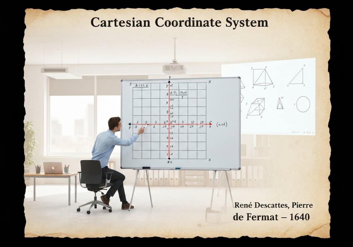
Cartesian coordinate system model in a professional office setting for analytic geometry.

(generated image for illustration only)

The Cartesian coordinate system provides an algebraic model for Euclidean geometry. It uses one or more numbers, or coordinates, to uniquely determine the position of a point in space. In a plane, two perpendicular lines (the x-axis and y-axis) are used, allowing geometric shapes to be described by algebraic equations. This fusion of algebra and geometry is known as analytic geometry.

Developed in the 17th century, the Cartesian system revolutionized mathematics by creating a powerful link between the previously separate fields of geometry and algebra. A point in a two-dimensional plane is represented by an ordered pair of numbers \((x, y)\), representing its signed distances from the y-axis and x-axis, respectively. This allows geometric concepts to be translated into algebraic language. For example, a circle with center \((h, k)\) and radius \(r\) can be described by the equation \((x-h)^2 + (y-k)^2 = r^2\). A line can be described by a linear equation like \(y = mx + b\).

This correspondence works both ways: algebraic equations can be visualized as geometric shapes. This analytic geometry allows for the solution of geometric problems using algebraic manipulation, which is often simpler and more powerful than the purely synthetic methods of classical Greek geometry. The system extends naturally to three dimensions with a third axis (z), and to higher-dimensional spaces (n-dimensional Euclidean space, \(\mathbb{R}^n\)), which are fundamental in fields like physics, data science, and machine learning. The Euclidean distance formula, \(d = \sqrt{(\Delta x)^2 + (\Delta y)^2}\), is a direct application of the Pythagorean theorem within this coordinate system, solidifying its status as the standard model for Euclidean space.

UNESCO Nomenclature: 1204
– Geometry

Type

Abstract System

Disruption

Revolutionary

Usage

Widespread Use

Precursors

  • Euclidean geometry’s axioms and theorems
  • The development of algebra, particularly by Persian mathematicians
  • Apollonius of Perga’s work on conic sections
  • The concept of latitude and longitude in cartography

Applications

  • all forms of modern mapping and GPS
  • computer graphics, video games, and user interfaces
  • data visualization and statistical plotting
  • engineering and physics for modeling systems
  • robotics and machine vision

Patents:

NA

Potential Innovations Ideas

  • a 4d data visualization tool for financial market analysis using a 3d coordinate system plus time
  • a personalized medicine platform that maps a patient’s genetic data onto a multi-dimensional coordinate space
  • an augmented reality navigation system for indoor spaces that builds a local coordinate map
  • a machine learning algorithm that classifies data by plotting it in a high-dimensional Euclidean space
  • a haptic feedback device that translates digital coordinates into physical sensations
  • a smart city management system that models traffic and pedestrian flow in a real-time 3d coordinate grid
  • a choreography software that uses coordinates to plan and visualize complex dance routines
  • an automated warehouse system where robots navigate using a precise internal coordinate grid
Related to: Cartesian coordinates, analytic geometry, René Descartes, algebra, geometry, coordinate system, x-y plane, Euclidean space.

Historical Context

Cartesian Coordinate System

-350
-500
150
1640
1650
1747
1758
-300
-400
-550
1635
1650
1736
1750
1763-12-23

(if date is unknown or not relevant, e.g. "fluid mechanics", a rounded estimation of its notable emergence is provided)

10th year anniversary

Full size images and downloads are only available, 100% free, for registered members.

> Login <