Product Design, Manufacturing & Innovation Resources
家 » 笛卡尔坐标系

笛卡尔坐标系

1640
  • René Descartes
  • Pierre de Fermat
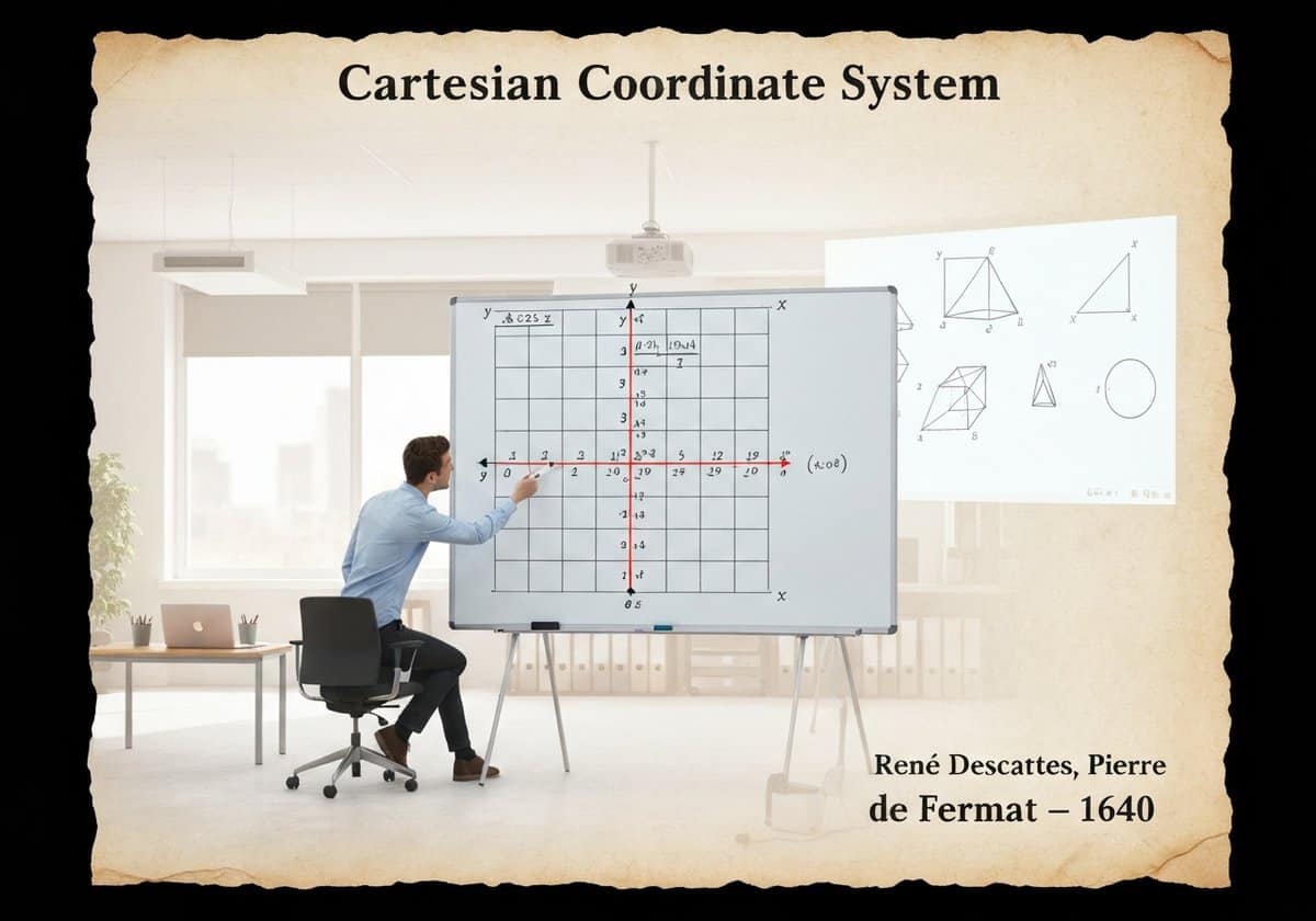
Cartesian coordinate system model in a professional office setting for analytic geometry.

(图片仅供参考)

笛卡尔坐标系为欧几里得几何提供了代数模型。它使用一个或多个数字(或坐标)来唯一地确定空间中点的位置。在平面上,使用两条垂直线(x轴和y轴),从而可以用代数方程来描述几何形状。这种代数与几何的融合被称为解析几何。

Developed in the 17th century, the Cartesian system revolutionized mathematics by creating a powerful link between the previously separate fields of geometry and algebra. A point in a two-dimensional plane is represented by an ordered pair of numbers [latex](x, y)[/latex], representing its signed distances from the y-axis and x-axis, respectively. This allows geometric concepts to be translated into algebraic language. For example, a circle with center [latex](h, k)[/latex] and radius [latex]r[/latex] can be described by the equation [latex](x-h)^2 + (y-k)^2 = r^2[/latex]. A line can be described by a linear equation like [latex]y = mx + b[/latex].


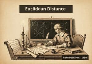
This correspondence works both ways: algebraic equations can be visualized as geometric shapes. This analytic geometry allows for the solution of geometric problems using algebraic manipulation, which is often simpler and more powerful than the purely synthetic methods of classical Greek geometry. The system extends naturally to three dimensions with a third axis (z), and to higher-dimensional spaces (n-dimensional Euclidean space, [latex]\mathbb{R}^n[/latex]), which are fundamental in fields like physics, data science, and machine learning. The Euclidean distance formula, [latex]d = \sqrt{(\Delta x)^2 + (\Delta y)^2}[/latex], is a direct application of the Pythagorean theorem within this coordinate system, solidifying its status as the standard model for Euclidean space.

UNESCO Nomenclature: 1204
– Geometry

类型

抽象系统

中断

Revolutionary

用法

广泛使用

前体

  • Euclidean geometry’s axioms and theorems
  • 代数学的发展,特别是波斯数学家的发展
  • Apollonius of Perga’s work on conic sections
  • 地图学中的纬度和经度概念

应用程序

  • 所有形式的现代地图和 GPS
  • computer graphics, 电子游戏, and user interfaces
  • data visualization and statistical plotting
  • 建模系统的工程和物理学
  • 机器人和机器视觉

专利:

NA

潜在创新理念

  • 使用 3D 坐标系加时间进行金融市场分析的 4D 数据可视化工具
  • a personalized medicine platform that maps a patient’s genetic data onto a multi-dimensional coordinate space
  • an 增强现实 navigation system for indoor spaces that builds a local coordinate map
  • 一种机器学习算法,通过在高维欧几里得空间中绘制数据来对其进行分类
  • 将数字坐标转换为物理感觉的触觉反馈设备
  • 智能城市管理系统,在实时三维坐标网格中模拟交通和行人流量
  • 一款使用坐标来规划和可视化复杂舞蹈动作的编舞软件
  • 自动化仓库系统,机器人使用精确的内部坐标网格进行导航
Related to: Cartesian coordinates, analytic geometry, René Descartes, algebra, geometry, coordinate system, x-y plane, Euclidean space.

历史背景

笛卡尔坐标系

-350
-500
150
1640
1650
1747
1758
-300
-400
-550
1635
1650
1736
1750
1763-12-23

(如果日期未知或不相关,例如“流体力学”,则提供其显著出现的近似估计)

第十年 周年纪念日

只有注册会员才能免费获取完整尺寸的图片和下载内容。

> 登录 <