SkyFi Satellite Earth Views compared with Planet Explorer, Vantor and Google Earth| SkyFi Satellite Earth Views | Planet Explorer | Vantor | Google Earth |
|---|
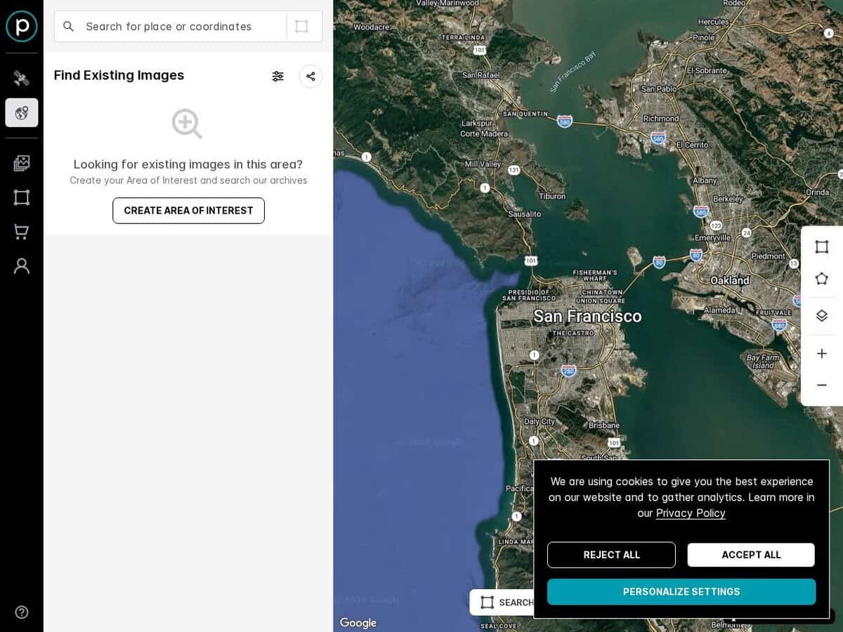
| Imagery type and resolution: A marketplace covering optical, SAR, multispectral and aerial imagery, with optical resolution listed up to 7.5 cm. It also resells PlanetScope at 3 m and SkySat archive and tasking data. | Imagery type and resolution: Planet own imagery: PlanetScope multispectral at about 3 m with daily-class revisit for most locations, and SkySat at about 1 m. | Imagery type and resolution: Since October 2025 the company trades as Vantor, with the space systems unit renamed Lanteris. Vantor lists WorldView optical imagery at 30 cm and Vivid mosaics at 15 cm and 30 cm, plus radar through Umbra satellites. | |
| Ordering model: Browse the footprint for free, then buy an archive image or order a new capture through tasking. Prices are calculated from area, resolution and sensor. | Ordering model: Subscription or contract access to PlanetScope daily monitoring, and prepaid credits for SkySat tasking. Planet also lists SkyFi as a partner for single orders. | Ordering model: Enterprise licensing of imagery and analytics. SkyFi is a partner of Vantor through the Vantor Connect self-service platform. | Ordering model: Not an ordering platform. Google Earth Pro on the desktop is free and supports GIS data import and export and viewing of historical imagery. |
| Date information and change detection: The browsing layer aggregates many views and shows no date, so it is a locator for selecting an area, not a time series. Ordered images carry their acquisition information. | Date information and change detection: Built around frequent revisits, so it suits change monitoring over an area of interest. | Date information and change detection: Archive depth and capture dates depend on the product ordered. | Date information and change detection: Historical imagery can be browsed in the desktop version. |
| Cost for casual use: Browsing is free. Multispectral and open data are listed as free, but high resolution products are paid. | Cost for casual use: Access is through paid plans, so there is no general free viewing tier confirmed. | Cost for casual use: Paid commercial products. | Cost for casual use: Free for viewing in the desktop, web and mobile versions. |
| When to choose it: Choose it when you need to select a precise area and buy one current or archive image, including SAR, without a long contract. | When to choose it: Choose it for continuous monitoring of large areas at moderate resolution. | When to choose it: Choose it when the best available optical detail and a direct commercial relationship are needed. | When to choose it: Choose it for visual exploration, orientation and low-cost historical comparison. |