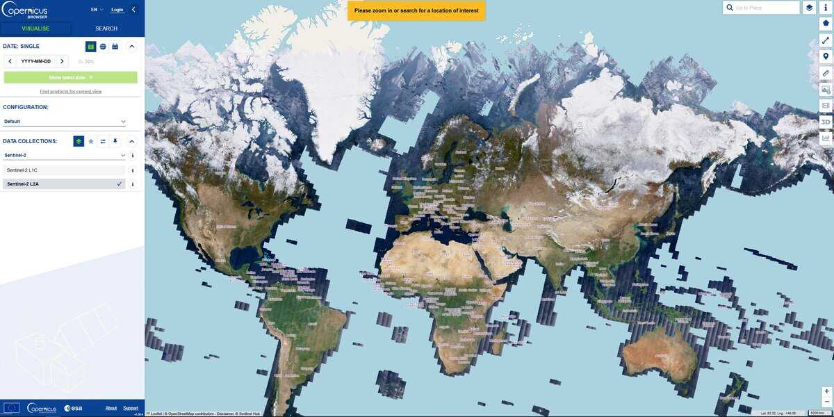
The site provides satellite views of almost whole earth, continuously, accessible by location at many dates, permitting to track easily any evolution.
The Copernicus Sentinel constellations are a fleet of dedicated Earth-observation satellites designed and operated by the European Space Agency (ESA) and the European Union. They are the “space component” of Copernicus, the world’s most ambitious civil Earth observation program, which provides free and open data to help monitor the environment, understand climate change, and ensure civil security.
The term “constellation” is used because most Sentinel missions consist of two identical satellites flying in the same orbit but 180° apart. This setup ensures that every part of the Earth is scanned frequently (high “revisit time”), which is important for tracking fast-moving events like floods or crop growth.
The data avalable here are from Sentinel-2 (Optical Imaging) that captures high-resolution “color” images (multispectral) of the Earth’s surface, great for agriculture (monitoring crop health), forestry, land-use mapping, and managing natural disasters like wildfires.
Resolution may not be the most impressive if the goal is to find the smallest details, but it is very complementary to other tools and a strong research ressource to analyse a large area over time.
Depending on the area and the date, several layers may be available, from the true colors, to SWIR, NDVI, NDWI and others, to be used with the cloud filter for best results.