Product Design, Manufacturing & Innovation Resources
Home » Online Tools » Live Artificial Satellites Map

Live Artificial Satellites Map

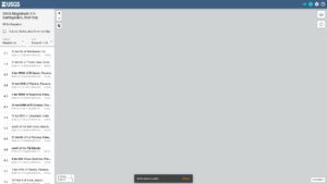
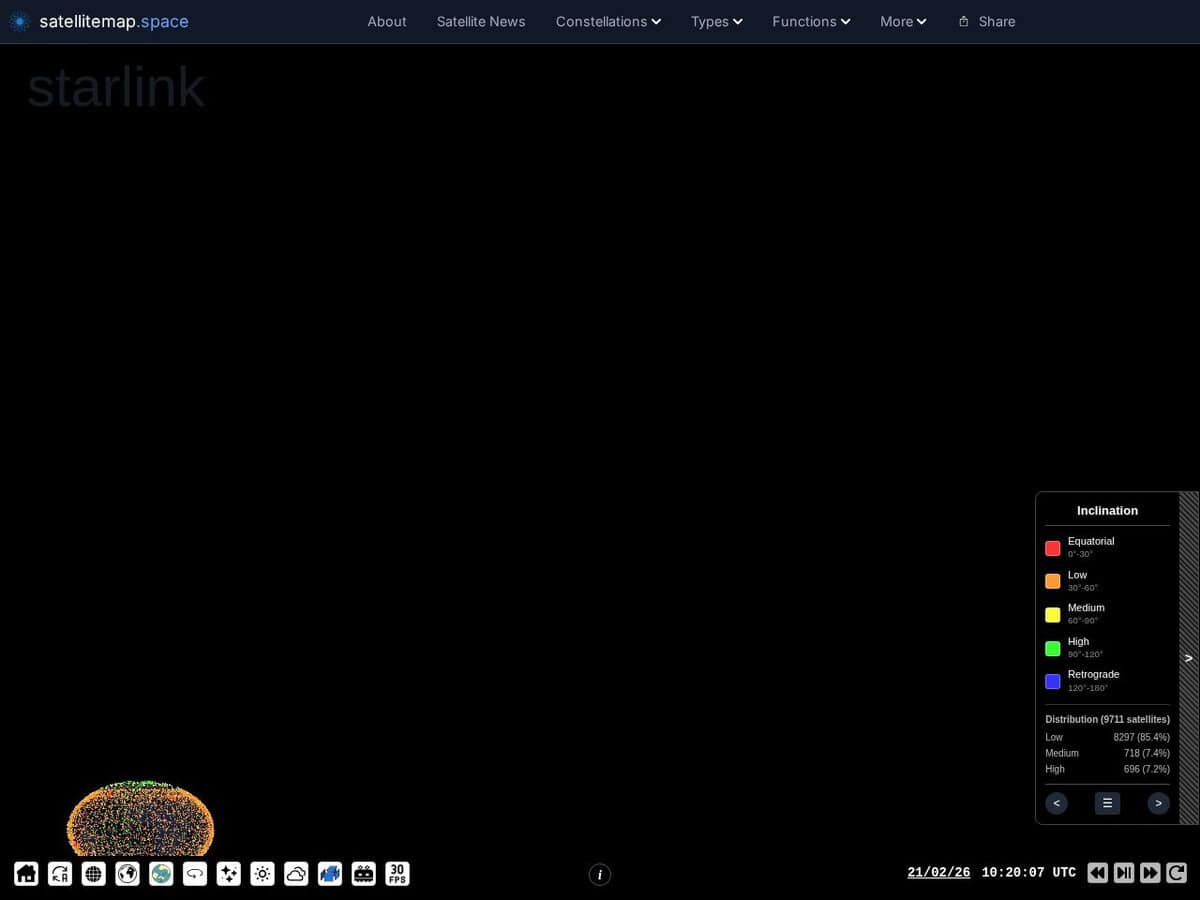
View an earth/sky map, trajectory, altitude and all details of 9000+ artificial earth satellites.
These can be classified by type, constellation, country, company, inclination … very rich information.

Satellitemap.space provides a real-time, interactive visualization of Low Earth Orbit (LEO) satellite constellations, primarily Starlink, OneWeb, and GPS networks. Utilizing WebGL for high-performance rendering, the platform maps current orbital positions, trajectories, and coverage footprints against a global geographic interface. It integrates telemetry data, including altitude, velocity, and orbital planes, with ground station locations and gateway connectivity to illustrate the operational infrastructure of global broadband services. Users can simulate coverage at specific coordinates to determine active satellite counts within a defined field-of-view and track orbital decay or reentry predictions.

Engineers and telecommunications professionals can apply this data to model signal propagation and assess potential radio frequency interference in specific spectral bands. In the field of aerospace engineering, the tool assists in visualizing orbital density and plane spacing, which is critical for collision avoidance modeling and space situational awareness. Innovation teams in logistics and remote manufacturing leverage the platform to:

  • Validate the feasibility of high-speed, low-latency data links for industrial IoT deployments in underserved regions.
  • Correlate network performance fluctuations with real-time satellite density and gateway proximity for quality assurance.
  • Monitor deployment phases and orbital positioning to optimize ground-to-space communication protocols.
Disciplines: Space engineering, Amateur radio, Astronomy, OSINT, Telecommunications.
Free alternative to N2YO, Heavens-Above, Stellarium.
Live Artificial Satellites Map compared with N2YO, Heavens-Above and Stellarium
Live Artificial Satellites Map (satellitemap.space)N2YOHeavens-AboveStellarium
Coverage: The page title cites 30,000+ satellites. It covers Starlink, GPS and other constellations, space stations and rocket bodies.Coverage: The site states it is tracking 35593 objects as of 19 October 2026. It counts objects, not only active satellites.Coverage: It offers 10 day pass predictions for satellites of special interest and daily predictions for brighter satellites. Amateur radio satellites have an All Passes list.Coverage: Stellarium is a planetarium. Artificial satellites are supported through a plugin.
Analysis tools: It includes a Transit Finder, Re-Entries, TLE Analysis, Close Approaches, a Photo Simulator and a Sim feature with CSV export.Analysis tools: It gives latitude, longitude, altitude, speed, azimuth and elevation for a selected satellite, and predicts passes over a chosen location. Alerts are available by email and SMS.Analysis tools: The focus is on pass predictions, with a page on the height of the ISS.Analysis tools: The plugin system also adds ocular simulation and telescope control.
Visualization: Real time positions are drawn on an interactive 3D globe with a day and night display.Visualization: It has an interactive 3D visualization of the ISS.Visualization: It renders a realistic 3D sky as seen by the naked eye, binoculars or a telescope.
Platform and cost: It runs in the browser, and an iOS app is promoted on the page. No price is stated.Platform and cost: It runs in the browser, with a login for the notification tool and an API access link. A donation link is offered, and no price is stated.Platform and cost: It runs in the browser with an optional login, and an Android app is linked. No price is stated.Platform and cost: It is free open source software under the GPL. Versions exist for Linux, Windows and macOS, and the source code is on GitHub. A browser version, Stellarium Web, is also available.

Topics covered: Artificial Satellites, Earth Map, Trajectory, Altitude, Low Earth Orbit, WebGL, Telemetry Data, Orbital Positions, Coverage Footprints, Signal Propagation, Radio Frequency Interference, Aerospace Engineering, Collision Avoidance, Space Situational Awareness, Industrial IoT, Ground-to-Space Communication, Quality Assurance, Orbital Density ISO 9001, ISO 27001, IEEE 80211, ITU-R M1457, and ISO/IEC 20000..

More GIS, Live Monitoring & Tracking, OSINT tools

Suggest your best online tool:

Do you know a better, a complementary or a replacement website to the one listed above ?

> Suggest it here <

10th year anniversary

Full size images and downloads are only available, 100% free, for registered members.

> Login <