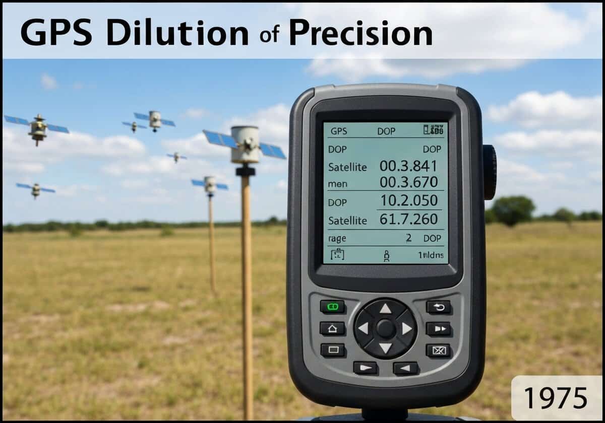
GPS Dilution of Precision (DOP)
The Dilution of Precision (DOP) is a metric that quantifies the effect of satellite geometry on GPS accuracy. A lower DOP value indicates better accuracy. When satellites are widely spaced in the sky, the geometry is strong, and DOP is low. When satellites are clustered together, the geometry is weak, DOP is high, and small errors in pseudorange measurements are magnified into large position errors.
The accuracy of a GPS position fix is not solely dependent on the quality of the signal or the receiver’s clock; it is also critically affected by the geometric arrangement of the satellites being tracked. The concept arises from the mathematics of solving the system of equations for the receiver’s position. The intersection of the range spheres from the satellites creates a volume of uncertainty. When satellites are far apart from each other in the sky, these spheres intersect at near-perpendicular angles, creating a small, well-defined volume of uncertainty and thus a more precise position fix. This is a “strong” geometry with a low DOP value.
Conversely, if the satellites are clustered closely together in one part of the sky, the spheres intersect at very shallow angles. This “weak” geometry results in an elongated, poorly defined volume of uncertainty. In this case, even minor errors in the pseudorange measurements (due to atmospheric delays, clock errors, etc.) are magnified, leading to a much larger error in the calculated position. This magnification factor is the DOP. There are several types of DOP: GDOP (Geometric DOP, for 3D position and time), PDOP (Position DOP, for 3D position), HDOP (Horizontal DOP), and VDOP (Vertical DOP). GPS receivers constantly calculate these values and often use them to decide which satellites to use for a position fix, always preferring the combination that yields the lowest DOP.
UNESCO Nomenclature: 2502
– Geodesy
Precursors
- least squares estimation method
- matrix algebra and linear algebra
- error propagation principles in measurement science
- concepts from land surveying and triangulation
- optimal experimental design theory
Applications
- mission planning for surveying and aviation to ensure high accuracy
- GPS receiver algorithms that select the best satellite subset
- performance analysis of GNSS constellations
- urban canyon and indoor positioning research
- integrity monitoring systems like RAIM (receiver autonomous integrity monitoring)
Potential Innovations Ideas
Due to scrapping bot traffic, currently more than 40k per day, this content is reserved to community members.
> Login < or > Register < (100% free) to access this, so as all other restricted content and tools.
Related to: DOP, GDOP, PDOP, HDOP, VDOP, satellite geometry, GPS accuracy, navigation, geodesy, position error.