
ThousandEyes Internet Outages Map
An interactive map, showing worldwide internet network status.Powered by Cisco and updated every 5 minutes, it show the status of
An interactive map, showing worldwide internet network status.Powered by Cisco and updated every 5 minutes, it show the status of

From the top past and futur blocks to be explored, to the current segments, explore in various ways all transactions
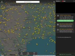
Many copies, this is the original. Just check the site and its tools, and you’ll know why Flightradar24 is just
View an earth/sky map, trajectory, altitude and all details of 9000+ artificial earth satellites.These can be classified by type, constellation,
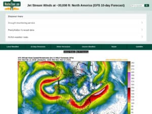
A current situation and 10 days forecast of the jetstream location and intensity with wind speeds in knots. The WeatherStreet
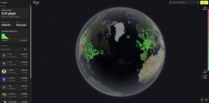
An interactive worldwide radioactivity / radiations map made by customers of the “RadiaCode” connected products recording their local area/path automatically
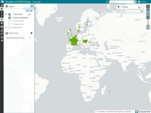
CentipedeRTK is a collaborative network of open GNSS bases available to anyone within the coverage area. The network is extended
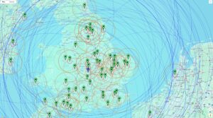
A free, cloud-based community NTRIP Caster that serves as a central hub for distributing high-precision GNSS correction data. Built on

Access all the Kiwi SDR live receivers worldwide. List or view receiver’s shared radios all over the world. 800 to

MeshSense Global Map is the online part (the node map mainly) of Affirmatech’s MeshSeense open source software for Meshtastic mapping