
ThousandEyes 인터넷 장애 지도
An interactive map, showing worldwide internet network status.Powered by Cisco and updated every 5 minutes, it show the status of
An interactive map, showing worldwide internet network status.Powered by Cisco and updated every 5 minutes, it show the status of

탐색할 수 있는 최상위 과거 및 미래 블록부터 현재 세그먼트에 이르기까지 모든 거래를 다양한 방식으로 탐색해 보세요.
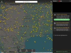
수많은 복사본이 있지만, 이것이 원본입니다. 사이트와 제공되는 도구들을 확인해 보시면 Flightradar24가 왜 최고인지 알게 되실 겁니다.
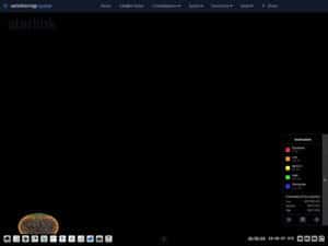
View an earth/sky map, trajectory, altitude and all details of 9000+ artificial earth satellites.These can be classified by type, constellation,
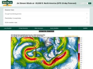
현재 상황 및 향후 10일간의 제트기류 위치와 강도 예보, 풍속(노트) 정보. 웨더스트리트
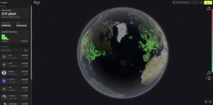
'RadiaCode' 연결 제품 고객들이 자신의 지역/경로를 자동으로 기록하여 만든 대화형 전 세계 방사능/방사선 지도입니다.
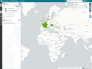
CentipedeRTK는 서비스 영역 내 누구나 이용할 수 있는 개방형 GNSS 기지국의 협업 네트워크입니다. 이 네트워크는 확장되고 있습니다.
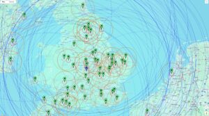
고정밀 GNSS 보정 데이터를 배포하는 중앙 허브 역할을 하는 무료 클라우드 기반 커뮤니티 NTRIP 캐스터입니다.

전 세계 Kiwi SDR 라이브 수신기에 모두 접속하세요. 전 세계 수신기의 공유 라디오 목록을 보거나 확인할 수 있습니다. 800~

MeshSense Global Map은 Affirmatech의 오픈 소스 소프트웨어인 MeshSense의 온라인 부분(주로 노드 맵)으로, Meshtastic 매핑에 사용됩니다.