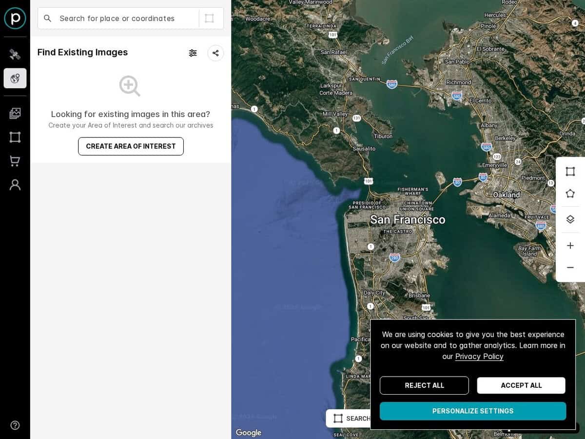
Explore earth satellite views and eventually order a custom image based on existing image or an update live shot (yes you can) of your desired area.
The browser is there to permit to select precisely the desired area. As such it is extremely precise, without any cloud, but has no time/date info as it aggregates many views.
The images include optical images (with potentially ultra high resolution with pixel size under 10cm), Synthetic Aperture Radar (SAR) images, and multispectral imagery.
Note: only the browsing is free, as part of a commercial service for GIS applications or others. Browse the full SkyFi and Planet site to see all available services and variants, including custom terrain, sky or sea analyses, stereo views and others.