Product Design, Manufacturing & Innovation Resources
Home » Live Artificial Satellites Map

Live Artificial Satellites Map

View an earth/sky map, trajectory, altitude and all details of 9000+ artificial earth satellites.
These can be classified by type, constellation, country, company, inclination … very rich information.

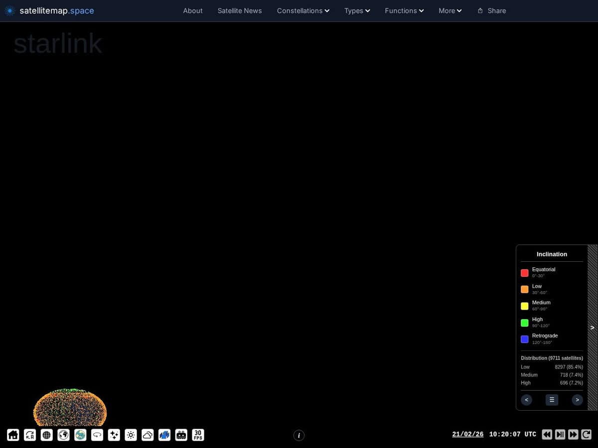
Satellitemap.space provides a real-time, interactive visualization of Low Earth Orbit (LEO) satellite constellations, primarily Starlink, OneWeb, and GPS networks. Utilizing WebGL for high-performance rendering, the platform maps current orbital positions, trajectories, and coverage footprints against a global geographic interface. It integrates telemetry data—including altitude, velocity, and orbital planes—with ground station locations and gateway connectivity to illustrate the operational infrastructure of global broadband services. Users can simulate coverage at specific coordinates to determine active satellite counts within a defined field-of-view and track orbital decay or reentry predictions.

Engineers and telecommunications professionals can apply this data to model signal propagation and assess potential radio frequency interference in specific spectral bands. In the field of aerospace engineering, the tool assists in visualizing orbital density and plane spacing, which is critical for collision avoidance modeling and space situational awareness. Innovation teams in logistics and remote manufacturing leverage the platform to:

  • Validate the feasibility of high-speed, low-latency data links for industrial IoT deployments in underserved regions.
  • Correlate network performance fluctuations with real-time satellite density and gateway proximity for quality assurance.
  • Monitor deployment phases and orbital positioning to optimize ground-to-space communication protocols.

Topics covered: Artificial Satellites, Earth Map, Trajectory, Altitude, Low Earth Orbit, WebGL, Telemetry Data, Orbital Positions, Coverage Footprints, Signal Propagation, Radio Frequency Interference, Aerospace Engineering, Collision Avoidance, Space Situational Awareness, Industrial IoT, Ground-to-Space Communication, Quality Assurance, Orbital Density ISO 9001, ISO 27001, IEEE 80211, ITU-R M1457, and ISO/IEC 20000..

Suggest your best sites:

Do you know a better, a complementary or a replacement website to the one listed above ?

> Suggest it here <

All Tools Categories:

  • 2D Graphics (40)
    All about computer 2D graphics, colors and art
  • AI (11)
    Best online tools and ressources to increase your productivity, innovation and creativity with AI and Machine Learning
  • CAD, 3D Graphics (8)
    All about computer CAD and 3D Graphics software.
  • Calculation (19)
  • Coding (16)
  • Communication (14)
    All communication tools that are not internet related (look at the dedicated > Network & web < category for these). These include the various 2G to 5G tools or analogical and numerical radio protocols.
  • Fun (5)
    Less useful tools, but with a technical, engineering or graphical principle. Or just original and curiosity.
  • GIS (14)
    Geographic Information System (GIS) tools for gathering, managing, and analyzing data that uses spatial location. These tools integrate earth and space maps, tools, remote sensing data and spatial analytics.
  • innovation.world (13)
    Our own original Engineering and product design tools, that we had to build as no similar was existing (or at least we could not find the same)
  • Language (4)
  • Network & Web (62)
  • OSINT (21)
    Open Source Intelligence (OSINT) online tools, with at least a freemium mode, that focus more specifically on OSINT than tools listed in the "Resource" or "Search" section
  • Patents & Brands (10)
  • Projects (8)
    All aspects and stages of R&D projects development, from ideation, research, presentation to project management
  • Resources (44)
    Libraries, databases, repositories, classifieds
  • Search (44)
    Search engines and search tools, from the most famous ones to very specialized. Note that standards and regulations search have their dedicated "Standards" category and therefore not included here.
  • Simulation (14)
  • Standards (7)
    Standards, norms and regulations from all over the world for engineering, product design and safety
  • Text Related (18)
    All related to text, such as writing, translating, correcting services

Full size images and downloads are only available, 100% free, for registered members.

> Login <