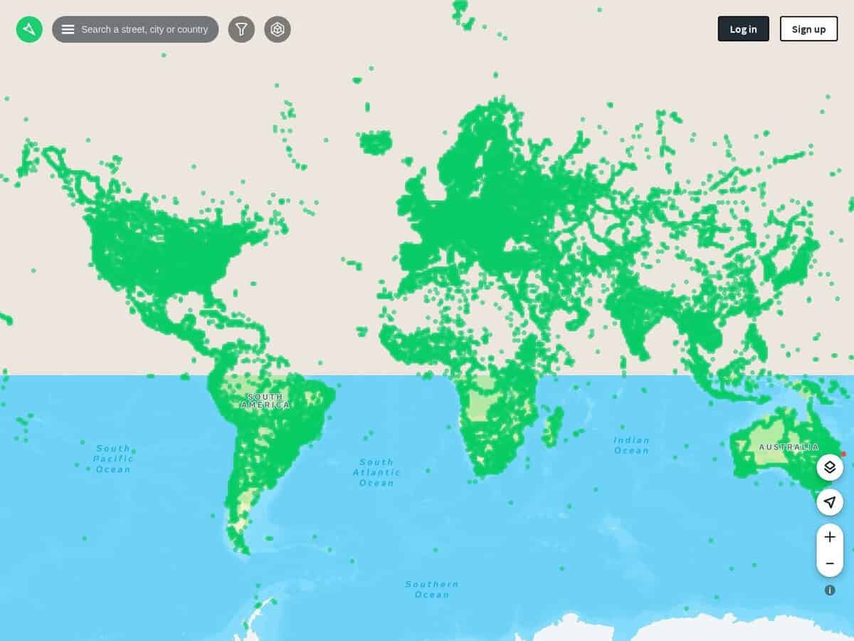
An open source version of worldwide street pictures, accessible by a single map. Great for GIS and OSINT.
Less complete than Google Street map, but it has a comprehensive license and API for your own applications and can be complementary in OSINT, from the angles taken, so as the time of the capture.
Food for thought: all ok in most of the places, but in conflict zones (example Ukraine), despite pictures and paths were indicated available on the detailed map, any trial to see some image led to a “Sorry, we can’t find the image you’re looking for.”
Visitors are invited to contribute, by editing info or submitting their own street captures. The site provide various tools to ease this, such as automatic import of movies with related GPS coordinates if the camera used permits.