Per attivare un'azione quando un dispositivo entra o esce da un confine virtuale.
- Metodologie: Ingegneria, Ergonomia
Geofencing
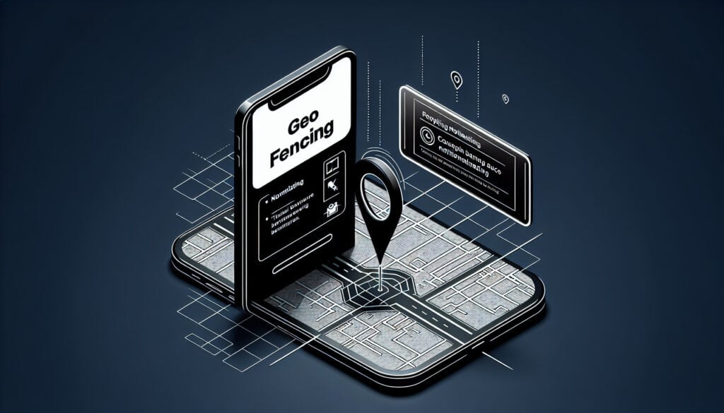
Geofencing
- Esperienza del cliente, Marketing digitale, Sistema informativo geografico (GIS), Sistema di posizionamento globale (GPS), Marketing, RFID, Esperienza utente (UX), Interfaccia utente (UI)
Obiettivo:
Come si usa:
- A location-based service in which an app or other software uses GPS, RFID, Wi-Fi or cellular data to trigger a pre-programmed action when a mobile device or RFID tag enters or exits a virtual boundary set up around a geographical location, known as a geofence.
Professionisti
- Allows for highly targeted and timely marketing messages; Can drive foot traffic to physical stores.
Contro
- Can raise privacy concerns; Effectiveness depends on users having location services enabled.
Categorie:
- Clienti e marketing
Ideale per:
- Sending a promotional message to a customer's phone when they are near a retail store.
Geofencing technology finds wide application in retail, real estate, transportation, and event management industries, enhancing customer engagement and operational efficiency. During the design and development phase, integrating geofencing can involve collaboration among product managers, developers, and marketing teams to create strategic guidelines for location-based offerings. For instance, event organizers can leverage geofencing to boost attendance by sending notifications or reminders to attendees as they approach the venue, while real estate agencies might notify potential buyers regarding available properties in their vicinity. During a project’s initiation phase, stakeholders must define clear objectives regarding user experience and desired outcomes, ensuring that privacy concerns are addressed through transparent communication about data usage. In the transportation sector, companies can improve their logistics by establishing geofences around distribution centers, triggering alerts when vehicles enter or leave designated areas, allowing for better management of operations and resources. In addition, geofencing can be employed in loyalty programs, where customers receive rewards upon entering a store, encouraging repeat visits and fostering a sense of community around brands. For successful adoption, the involvement of data analysts may be necessary to interpret user engagement metrics, which can further drive informed decisions for campaign adjustments and optimizations.
Fasi chiave di questa metodologia
- Define geofence parameters such as radius and geographical boundaries.
- Implement GPS, RFID, or Wi-Fi technology to establish location tracking.
- Develop an application or platform to manage geofence triggers and responses.
- Create promotional content to be sent when users enter or exit the geofence.
- Integrate user consent mechanisms for data privacy compliance.
- Test geofencing functionality and ensure accurate area coverage.
- Launch the geofencing campaign and monitor performance in real-time.
- Adjust geofence parameters or promotional content based on user engagement data.
Suggerimenti per i professionisti
- Integrate real-time data analytics to optimize geofence parameters based on customer behavior and foot traffic analysis.
- Test and refine messaging effectiveness by A/B testing different promotional campaigns within specific geofenced areas.
- Ensure compliance with privacy regulations by providing clear opt-in options and transparent data usage policies to users.
Leggere e confrontare diverse metodologie, raccomandiamo il
> Ampio archivio di metodologie <
insieme ad altre 400 metodologie.
I vostri commenti su questa metodologia o ulteriori informazioni sono benvenuti su sezione commenti qui sotto ↓ , così come tutte le idee o i link relativi all'ingegneria.
Contesto storico


1992
1996
1998
2000
2000
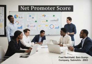
2003
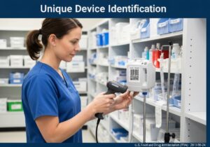
2013-09-24
1992
1994
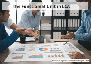
1997
1999-05-01
2000
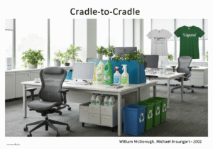
2002
2013


(se la data non è nota o non è rilevante, ad esempio "meccanica dei fluidi", viene fornita una stima approssimativa della sua notevole comparsa)
Post correlati
Questionari sul disagio muscoloscheletrico
Test multivariati (MVT)
Analisi di regressione multipla
Sistemi di cattura del movimento
Metodo MoSCoW
Test mediano dell'umore