Earth Satellite Views (EU Copernicus Sentinel constellations) compared with Google Earth Engine, Planet Explorer and USGS EarthExplorer| 地球の衛星画像(EUコペルニクス・センチネル衛星群) | Google Earth Engine | プラネットエクスプローラー | USGS EarthExplorer |
|---|
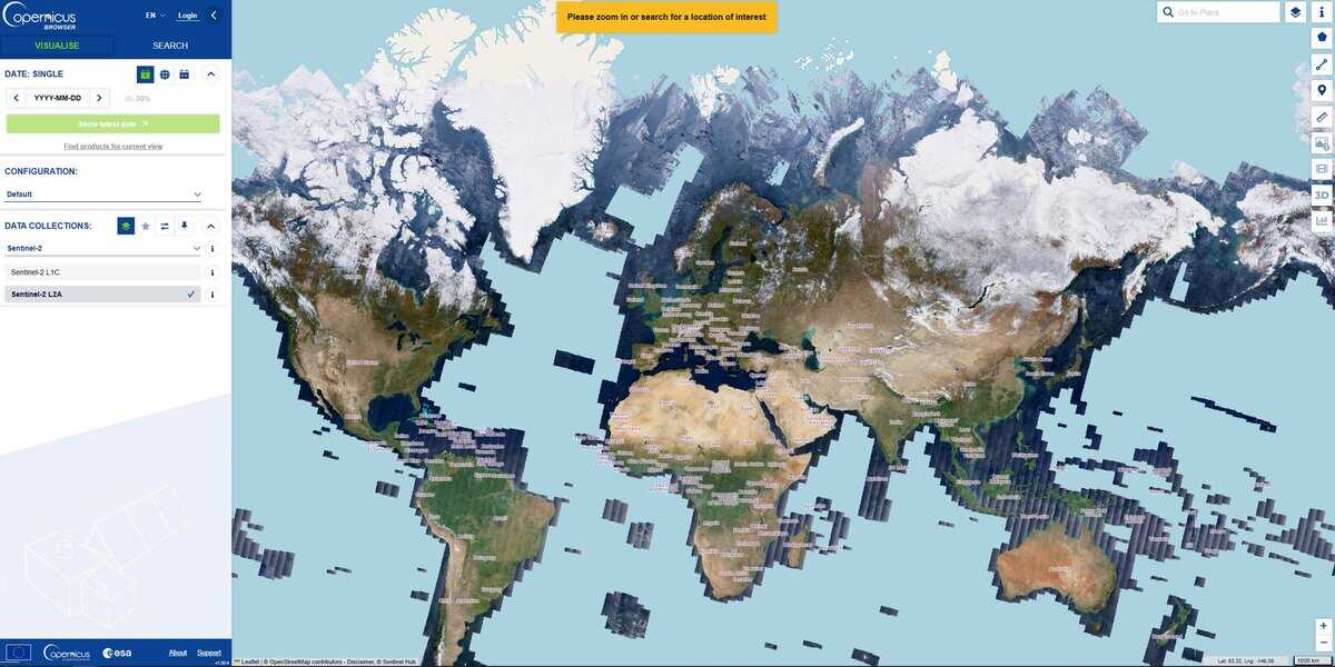
| Data and resolution: Copernicus Browser offers Sentinel-1, Sentinel-2 (L1C and L2A), Sentinel-3, Sentinel-5P and two DEMs. Sentinel-2 has 13 bands, four at 10 m, six at 20 m and three at 60 m, with a combined revisit of 5 days for the 2A and 2B pair. | Data and resolution: A cloud platform for analysis of large public geospatial catalogues and your own data. Resolution depends on the dataset chosen. | Data and resolution: PlanetScope at about 3 m with near daily coverage, and SkySat at about 1 m. Finer resolution than Sentinel-2, but from a commercial source. | Data and resolution: Datasets include Landsat, MODIS, radar, DEMs, LiDAR, aerial and commercial imagery, and Sentinel-2 is also available. |
| 分析ツール: Custom band composites, indices such as NDVI (bands B4 and B8) and NDWI, custom JavaScript visualization scripts, a cloud filter (30 percent by default) and time-lapse export to GIF or MP4. Services can be exposed as WMS, WMTS, WFS or WCS. | 分析ツール: Programmatic processing over the whole catalogue, billed in compute hours for commercial use. This suits large-scale time series, but it needs scripting skills. | 分析ツール: Search, filter and preview of scenes in the browser, with download and API access for subscribers. | 分析ツール: Search and download of scenes, with footprints in CSV, shapefile or KMZ. Processing is done offline in your own software. Level 1 GeoTIFF is the usual analysis product. |
| 費用とアクセス: Free, with a free account required for the browser. No commercial licence is needed. | 費用とアクセス: Noncommercial and research use is free. Commercial plans are offered as Basic and Professional subscriptions, plus usage fees per compute hour. | 費用とアクセス: Paid plans. Daily monitoring is sold on contract. | 費用とアクセス: Downloads are free with a free USGS account. |
| Learning curve: Low for viewing and index maps, moderate for custom scripts. A good starting point for agronomists, foresters and environmental scientists. | Learning curve: High, because analysis is written as code. | Learning curve: Low for browsing, moderate for API work. | Learning curve: Moderate: you must choose products and processing levels, then handle files yourself. |
| いつ選択すべきか: Choose it for free, repeatable monitoring of large areas over time, such as crop health, burn scars, flooding or land use, when 10 m detail is sufficient. | いつ選択すべきか: Choose it when you must process years of imagery across large regions. | いつ選択すべきか: Choose it when metre-scale detail and frequent revisits justify a commercial budget. | いつ選択すべきか: Choose it when you need Landsat archives or other US federal data products. |