ECMWF天気予報(10日間、中期予報)
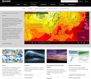
If you are looking for a 10-days weather tendency, il all formats, this is it: the European Centre for Medium-Range
If you are looking for a 10-days weather tendency, il all formats, this is it: the European Centre for Medium-Range
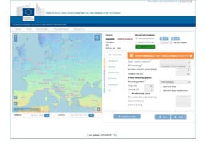
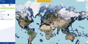
世界地図上で場所を選択し、ソーラーパネルの設置スタイルと向きを定義すると、計算されます。
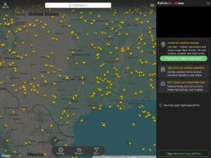
Many copies, this is the original. Just check the site and its tools, and you’ll know why Flightradar24 is just
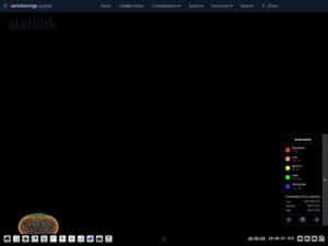
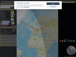
View an earth/sky map, trajectory, altitude and all details of 9000+ artificial earth satellites. These can be classified by type,
Get for any place on earth, all the relative moon data (elevation, distance, related trajectory over the day …) Your
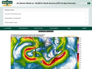
A current situation and 10 days forecast of the jetstream location and intensity with wind speeds in knots. The WeatherStreet
Wetterzentrale.de is a comprehensive meteorological data portal providing high-resolution visualization of global and regional numerical weather prediction (NWP) models, including
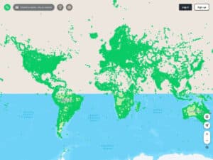
An open source version of worldwide street pictures, accessible by a single map. Great for GIS and OSINT. Less complete
The site provides satellite views of almost whole earth, continuously, accessible by location at many dates, permitting to track easily
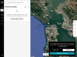
Explore earth satellite views and eventually order a custom image based on existing image or an update live shot (yes