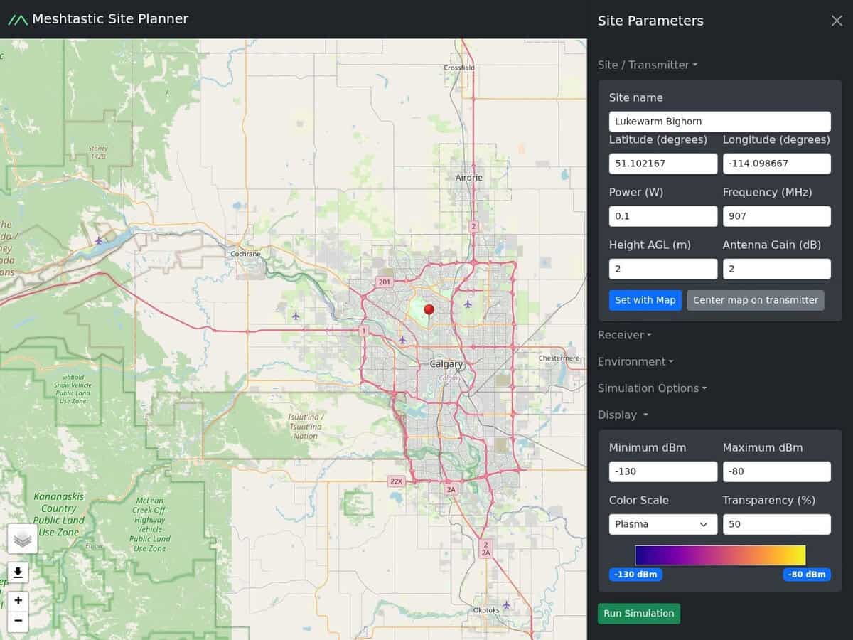
Enter your location, either on a map or Latitude/Longitude, your elevation, your emission characteristics (power, antenna gain, frequency), and it will calculate your theoretical LoRa / Meshtastic range.
This is based on elevation terrain data from the NASA SRTM (Shuttle Radar Topography) mission, not taking into account obstructions such as buildings or trees.