Shodan IoT検索エンジン

Search the internet for everything but webpages, ie on other ports, like IoT, cameras and other connected devices: Shodan is a specialized search engine that indexes metadata from Internet-connected devices, including servers, routers, industrial control systems, and Internet of Things (IoT) hardware. By scanning the global IP space and parsing service banners, the platform identifies active ports, software versions, and geographic locations without relying on traditional web crawling. It provides technical professionals with granular data on device configurations and potential vulnerabilities, offering tools for external attack surface management and a programmatic API for automated threat intelligence integration.Tip: a must for own network security checks; replaces or aggregates many command line tools.In […]
匿名性チェッカー
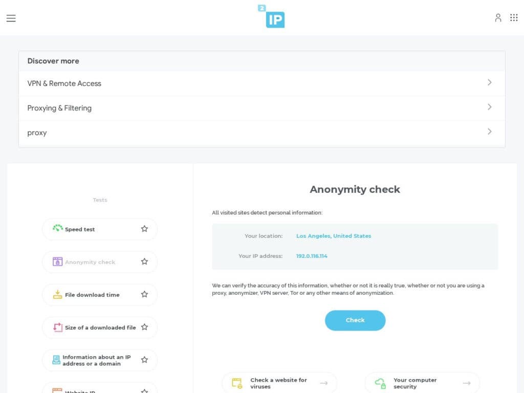
It analyses your browser visible specifications so as your connection details and evaluates your level of anonymity while browsing on internet. You’ll get a scoring so as the details for each tests. Important: the tool reports what it thinks to be; to trust its result, it is important you check against your real configuration … that only you know for sure. you get a green score (0% or close to) with this tool when it analyses that you use no mean to hide. Depending on your need, it may be the opposite you are looking to. Tip: it is to be used in conjunction with other tools listed on this […]
無料プロキシ一覧

Our own proxies list, continuously updated: it provides a dynamically updated repository of public proxy servers, enabling users to route network traffic through intermediary nodes. It categorizes available proxies by protocol—including HTTP, HTTPS, SOCKS4, and SOCKS5—while detailing specific attributes such as anonymity levels (Transparent, Anonymous, Elite), geographic origin, and connection latency. This infrastructure allows for the obfuscation of source IP addresses, facilitating secure data harvesting and the bypass of regional access restrictions during automated web interactions.To be used in conjunction with our super-detailed article about usages of proxies for engineering.Free registration to innovation.world is required to get all lists.The tool is particularly useful for the following technical applications:Executing large-scale web […]
Flightradar24のライブ航空交通チェッカー(オリジナル)

Many copies, this is the original. Just check the site and its tools, and you’ll know why Flightradar24 is just the leader for live air traffic checker and display: full page live map anywhere in the world details on (most) of each aircraft, picture of it current origine and destination … All these free without any subscription (but subscribers get even more, such as weather or aircraft types filtering).
人工衛星のライブマップ
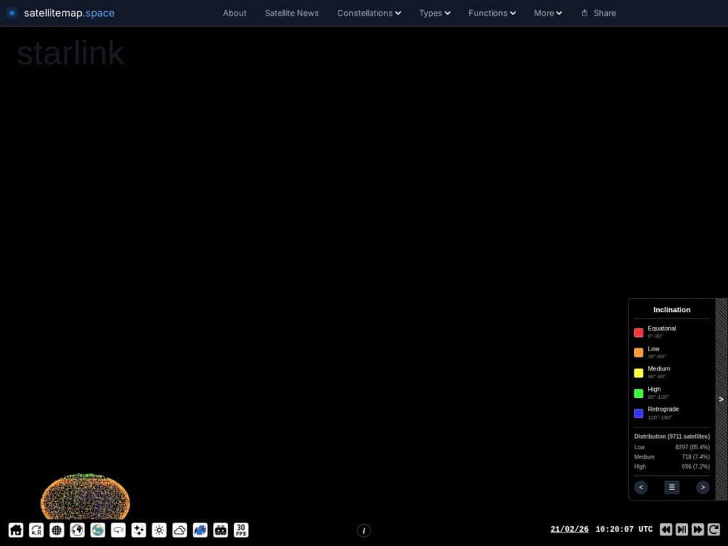
View an earth/sky map, trajectory, altitude and all details of 9000+ artificial earth satellites.These can be classified by type, constellation, country, company, inclination … very rich information.Satellitemap.space provides a real-time, interactive visualization of Low Earth Orbit (LEO) satellite constellations, primarily Starlink, OneWeb, and GPS networks. Utilizing WebGL for high-performance rendering, the platform maps current orbital positions, trajectories, and coverage footprints against a global geographic interface. It integrates telemetry data, including altitude, velocity, and orbital planes, with ground station locations and gateway connectivity to illustrate the operational infrastructure of global broadband services. Users can simulate coverage at specific coordinates to determine active satellite counts within a defined field-of-view and track orbital […]
インタラクティブな月面データビジュアライザー
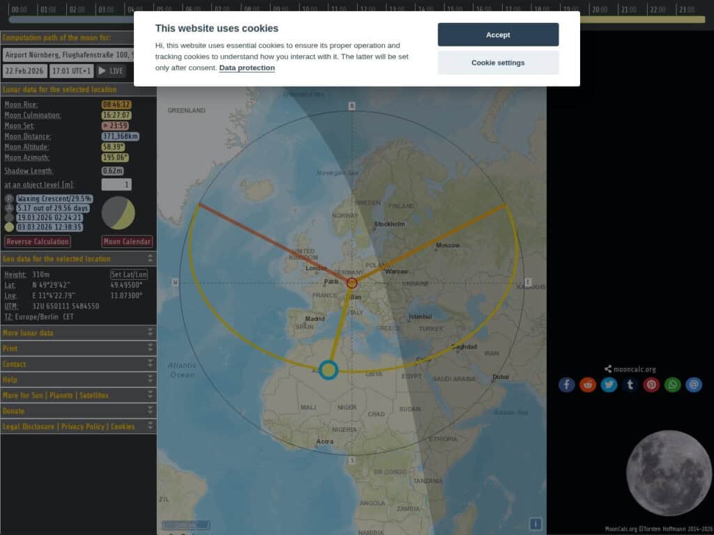
Get for any place on earth, all the relative moon data (elevation, distance, related trajectory over the day …)Your current location can be deducted from your internet IP address, or must be entered manually on the top left or, simplest, clicked on the map.Effective and simpleMoonCalc.org is a specialized geospatial tool that calculates and visualizes lunar positioning, phases, and illumination data for any geographic location and point in time. The platform provides precise astronomical metrics, including moonrise and moonset times, azimuth, altitude, and the moon’s distance from Earth in kilometers. Its interactive interface features a map-based trajectory overlay that illustrates the moon’s path relative to the observer, alongside a detailed […]
ジェット気流北米10日間予報図
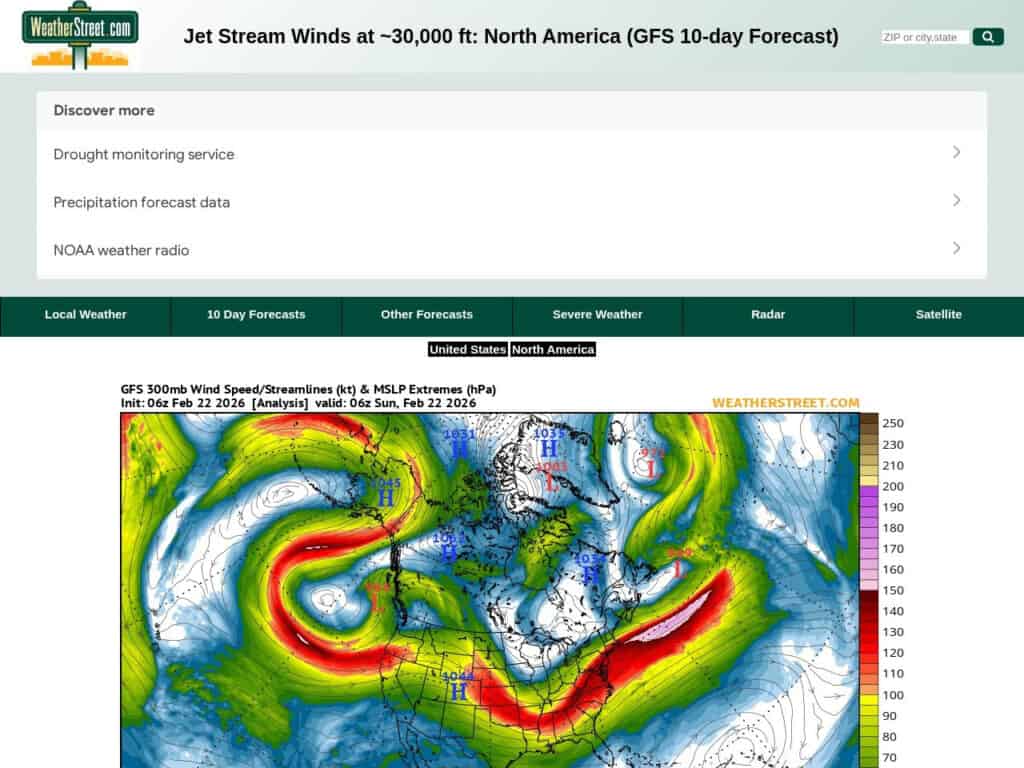
A current situation and 10 days forecast of the jetstream location and intensity with wind speeds in knots. The WeatherStreet GFS Jetstream Wind Forecast provides high-altitude meteorological data visualizing wind velocity and direction at the 250 mb pressure level across North America. Utilizing the Global Forecast System (GFS) numerical model, the service generates a series of synoptic charts that track the polar and subtropical jet streams over a multi-day forecast horizon.It includes North America and part of South America. Can be focused to US only for more local details.Useful for high altitude activities or long time-lapse astronomy photography. Aerospace engineers and flight operations specialists utilize these forecasts to optimize transcontinental […]
Wetterzentrale ヨーロッパの無料気象データ
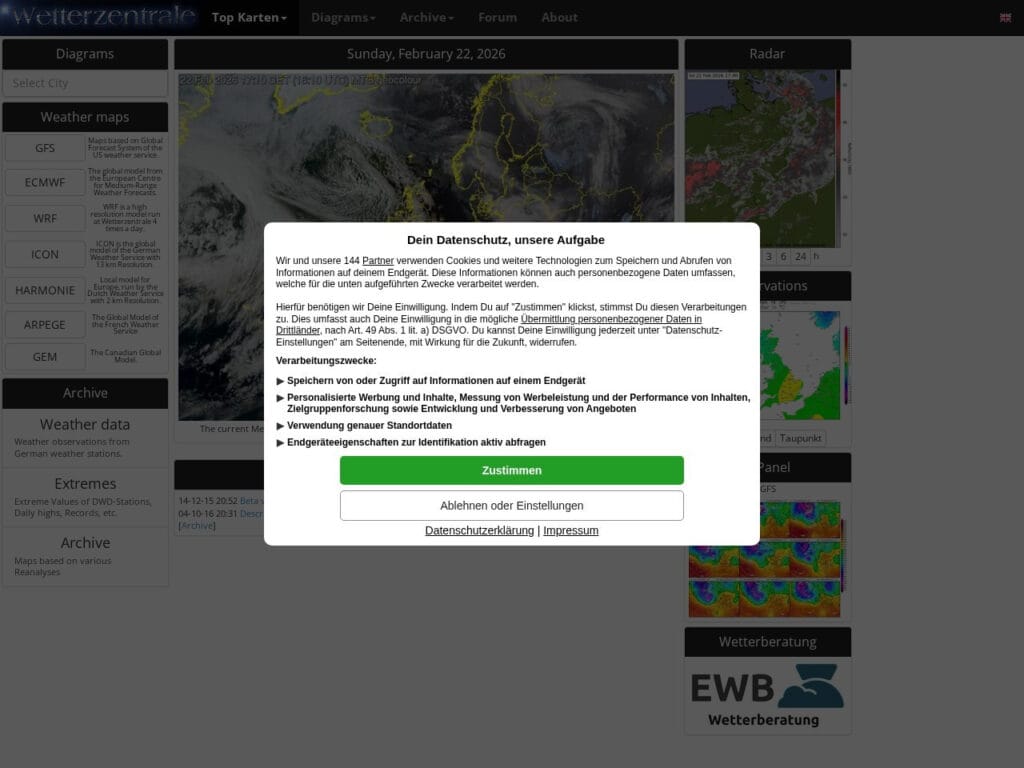
Wetterzentrale.de is a comprehensive meteorological data portal providing high-resolution visualization of global and regional numerical weather prediction (NWP) models, including GFS, ECMWF, ICON, UKMO, ARPEGE, and GEM, alongside specialized regional models like WRF, HARMONIE, and AROME. It features advanced diagnostic tools such as ensemble forecast spreads (GEFS, ENS), multi-model comparisons, 9-panel synoptic overviews, and thermodynamic Skew-T diagrams, complemented by emerging AI-driven products like AIFS and GraphCast.It mainly focus on Europe and European countries, but also provides some tools for north and south hemispheres. Available in English, German, Spanish and Dutch. Its ergonomics is a bit confusing at first and needs to be used to to grasp all available tools and […]
Mapillaryのオープンソースストリート写真

An open source version of worldwide street pictures, accessible by a single map. Great for GIS and OSINT.Less complete than Google Street map, but it has a comprehensive license and API for your own applications and can be complementary in OSINT, from the angles taken, so as the time of the capture.Food for thought: all ok in most of the places, but in conflict zones (example Ukraine), despite pictures and paths were indicated available on the detailed map, any trial to see some image led to a “Sorry, we can’t find the image you’re looking for.”Visitors are invited to contribute, by editing info or submitting their own street captures. The […]
地球の衛星画像(EUコペルニクス・センチネル衛星群)
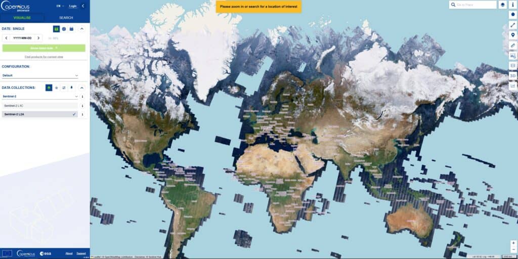
The site provides satellite views of almost whole earth, continuously, accessible by location at many dates, permitting to track easily any evolution.The Copernicus Sentinel constellations are a fleet of dedicated Earth-observation satellites designed and operated by the European Space Agency (ESA) and the European Union. They are the “space component” of Copernicus, the world’s most ambitious civil Earth observation program, which provides free and open data to help monitor the environment, understand climate change, and ensure civil security.The term “constellation” is used because most Sentinel missions consist of two identical satellites flying in the same orbit but 180° apart. This setup ensures that every part of the Earth is scanned […]