Mecanismo de busca IoT Shodan

Search the internet for everything but webpages, ie on other ports, like IoT, cameras and other connected devices: Shodan is a specialized search engine that indexes metadata from Internet-connected devices, including servers, routers, industrial control systems, and Internet of Things (IoT) hardware. By scanning the global IP space and parsing service banners, the platform identifies active […]
Verificador de anonimato
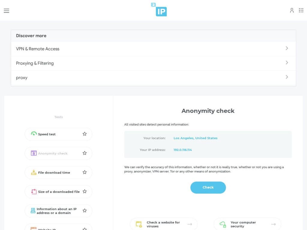
It analyses your browser visible specifications so as your connection details and evaluates your level of anonymity while browsing on internet. You’ll get a scoring so as the details for each tests. Important: the tool reports what it thinks to be; to trust its result, it is important you check against your real configuration … […]
Lista de Proxies Gratuitos

Our own proxies list, continuously updated: it provides a dynamically updated repository of public proxy servers, enabling users to route network traffic through intermediary nodes. It categorizes available proxies by protocol—including HTTP, HTTPS, SOCKS4, and SOCKS5—while detailing specific attributes such as anonymity levels (Transparent, Anonymous, Elite), geographic origin, and connection latency. This infrastructure allows for […]
Verificador de tráfego aéreo ao vivo original do Flightradar24

Many copies, this is the original. Just check the site and its tools, and you’ll know why Flightradar24 is just the leader for live air traffic checker and display: full page live map anywhere in the world details on (most) of each aircraft, picture of it current origine and destination … All these free without […]
Mapa de satélites artificiais ao vivo
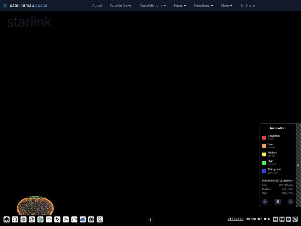
View an earth/sky map, trajectory, altitude and all details of 9000+ artificial earth satellites.These can be classified by type, constellation, country, company, inclination … very rich information.Satellitemap.space provides a real-time, interactive visualization of Low Earth Orbit (LEO) satellite constellations, primarily Starlink, OneWeb, and GPS networks. Utilizing WebGL for high-performance rendering, the platform maps current orbital […]
Visualizador interativo de dados lunares
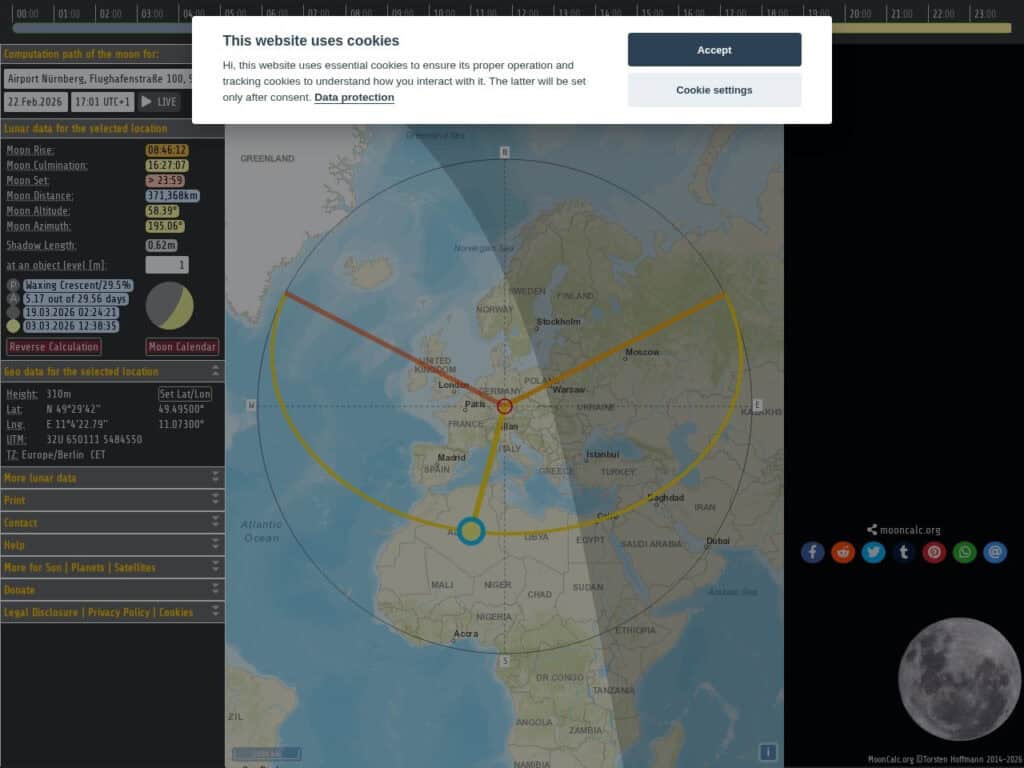
Get for any place on earth, all the relative moon data (elevation, distance, related trajectory over the day …)Your current location can be deducted from your internet IP address, or must be entered manually on the top left or, simplest, clicked on the map.Effective and simpleMoonCalc.org is a specialized geospatial tool that calculates and visualizes […]
Mapa de Previsão de Correntes de Jato para a América do Norte (10 dias)
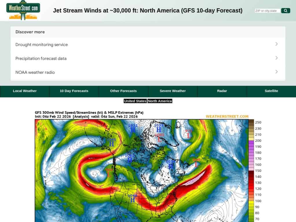
A current situation and 10 days forecast of the jetstream location and intensity with wind speeds in knots. The WeatherStreet GFS Jetstream Wind Forecast provides high-altitude meteorological data visualizing wind velocity and direction at the 250 mb pressure level across North America. Utilizing the Global Forecast System (GFS) numerical model, the service generates a series […]
Wetterzentrale Dados meteorológicos europeus gratuitos
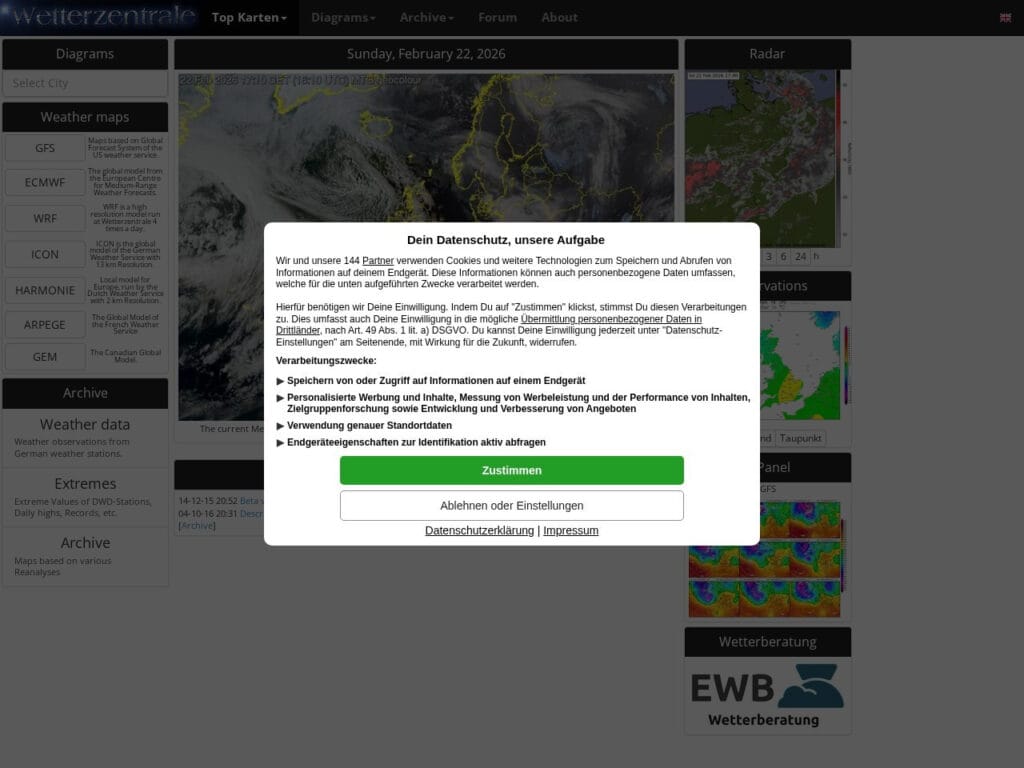
Wetterzentrale.de is a comprehensive meteorological data portal providing high-resolution visualization of global and regional numerical weather prediction (NWP) models, including GFS, ECMWF, ICON, UKMO, ARPEGE, and GEM, alongside specialized regional models like WRF, HARMONIE, and AROME. It features advanced diagnostic tools such as ensemble forecast spreads (GEFS, ENS), multi-model comparisons, 9-panel synoptic overviews, and thermodynamic […]
Mapillary Imagens de rua de código aberto

An open source version of worldwide street pictures, accessible by a single map. Great for GIS and OSINT.Less complete than Google Street map, but it has a comprehensive license and API for your own applications and can be complementary in OSINT, from the angles taken, so as the time of the capture.Food for thought: all […]
Imagens de satélite da Terra (constelações Copernicus Sentinel da UE)
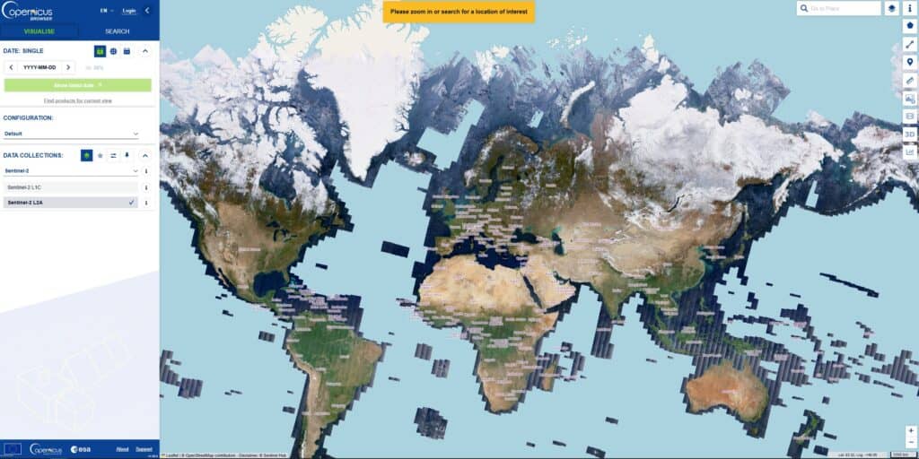
The site provides satellite views of almost whole earth, continuously, accessible by location at many dates, permitting to track easily any evolution.The Copernicus Sentinel constellations are a fleet of dedicated Earth-observation satellites designed and operated by the European Space Agency (ESA) and the European Union. They are the “space component” of Copernicus, the world’s most […]