SkyFi衛星地球画像
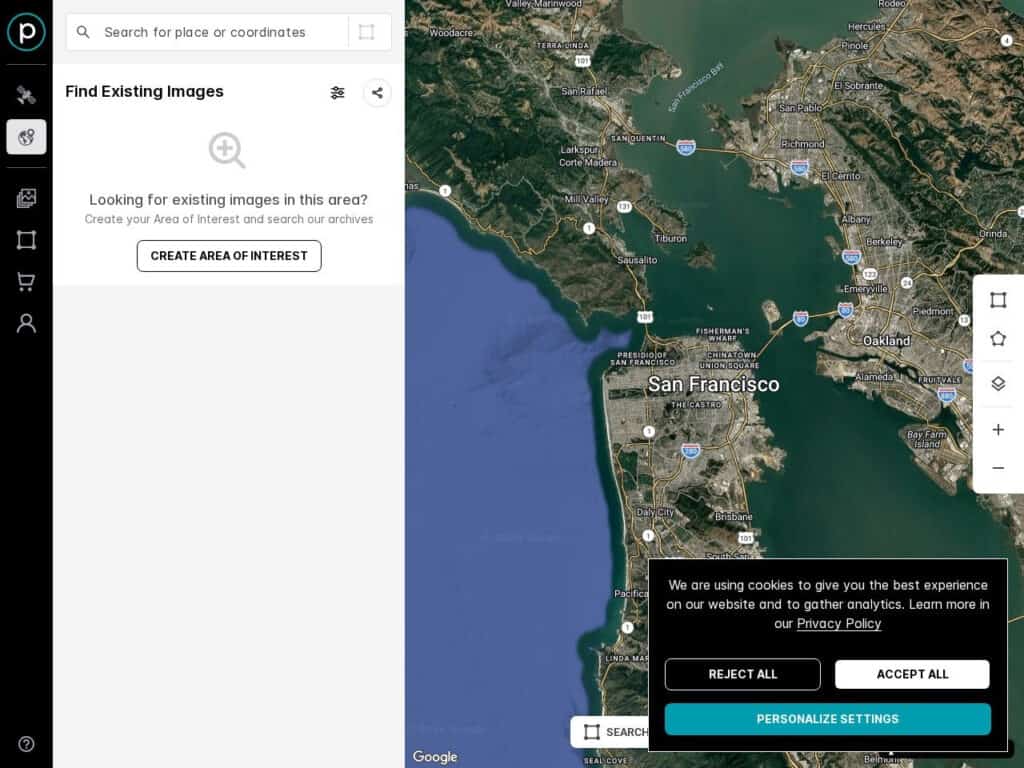
Explore earth satellite views and eventually order a custom image based on existing image or an update live shot (yes you can) of your desired area.The browser is there to permit to select precisely the desired area. As such it is extremely precise, without any cloud, but has no time/date info as it aggregates many views.The images include optical images (with potentially ultra high resolution with pixel size under 10cm), Synthetic Aperture Radar (SAR) images, and multispectral imagery.Note: only the browsing is free, as part of a commercial service for GIS applications or others. Browse the full SkyFi and Planet site to see all available services and variants, including custom […]
ラジアバース放射線マップ
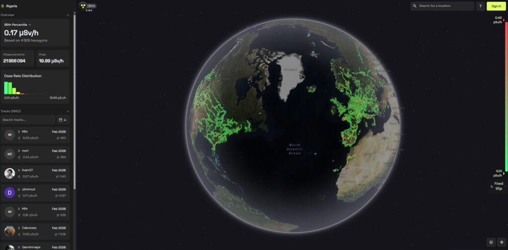
An interactive worldwide radioactivity / radiations map made by customers of the “RadiaCode” connected products recording their local area/path automatically tagging the GPS coordinates. Not fully scientific calibrated instruments, but interesting as a curiosity before investigating more. Note their disclaimer advise: Emergency and Reporting If you find a suspicious object that is not a naturally occurring radioactive material (NORM) and it emits more than 2.0 µSv/h, immediately secure the area, limit access, and notify the competent local authority. If the dose rate exceeds 10.0 µSv/h, an urgent report to emergency services is mandatory. Such sources may pose an acute hazard to you and the public. The values mentioned above are […]
CentipedeRTK 無料のライブ GNSS ベースマップ
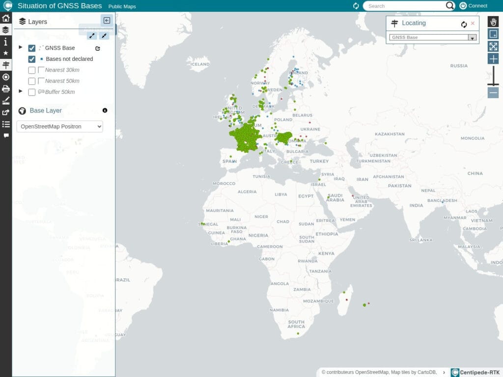
CentipedeRTK is a collaborative network of open GNSS bases available to anyone within the coverage area. The network is extended by public institutions, individuals, private actors such as farmers, and other public partners.Initially a French initiative, now well implemented also in Hungary and Switzerland, plus a few bases in Europe and North America.If you need GPS/GNSS centimeter accuracy for your application, you need a fixed base, perfectly positioned and receiving the GNSS signal also. Either you have your own base, or you use this open source group of bases and the real time corrective signal of its closest base.Alternatives networks of bases exist … commercial. A must for your rover, […]
RTK2go無料コミュニティ NTRIP Caster(RTKライブ補正用)
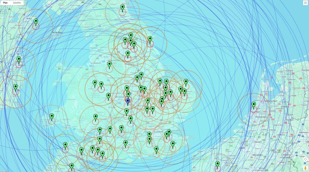
A free, cloud-based community NTRIP Caster that serves as a central hub for distributing high-precision GNSS correction data. Built on the professional-grade SNIP Caster software, the platform allows individual base station operators to “push” their RTK (Real-Time Kinematic) correction streams to a public server, making them accessible to any number of “rover” clients over the internet. This service is particularly valuable for users who lack a static IP address or the technical resources to host their own caster, enabling them to achieve centimeter-level positioning accuracy for applications like precision agriculture, surveying, and drone navigation without the overhead of maintaining private infrastructure.Tip: click the button on the right of any node, […]
無料のSVGマップ

A lot of free SVG maps of world, countries or regions, ready to be downloaded and used on any website or support. Be sure to read the license details (short version: free to use, including commercial, with attribution)
無料FEMオンライン

無料のFEM解析ソフトウェアのオンライン版。専門家向け。
Matweb 材料特性データベース
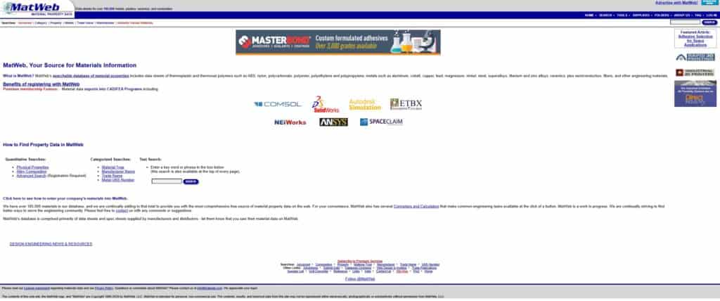
By fast the most complete freely accessible material properties database. For metals, plastics, ceramics, and composites, although plastics is where it really shines. Many datasheets also included. Typically:Physical Properties such asDensityLinear Mold ShrinkageMelt Flow indexAsh %Mechanical Properties such asHardness, Rockwell RTensile Strength at BreakTensile Strength, YieldElongation at BreakElongation at YieldTensile ModulusFlexural StrengthFlexural ModulusIzod ImpactThermal PropertiesDeflection Temperature at 0.46 MPa (66 psi)Deflection Temperature at 1.8 MPa (264 psi) Already a lot without any registration. A must-have for numerical simulation.
2次元構造有限要素解析(FEA)

Define your structure by telling your points and spans, then apply your various forces, and constraints. It will then calculate efforts in your structure. You can save you inputs for future use or variants.
柱座屈計算機
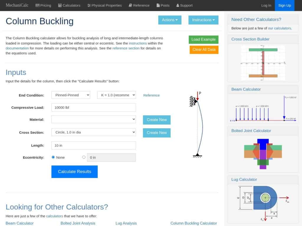
一般的な座屈計算ツールでは、両端、長さ、断面積、材料、圧縮荷重などを指定します。
セクションプロパティ計算機
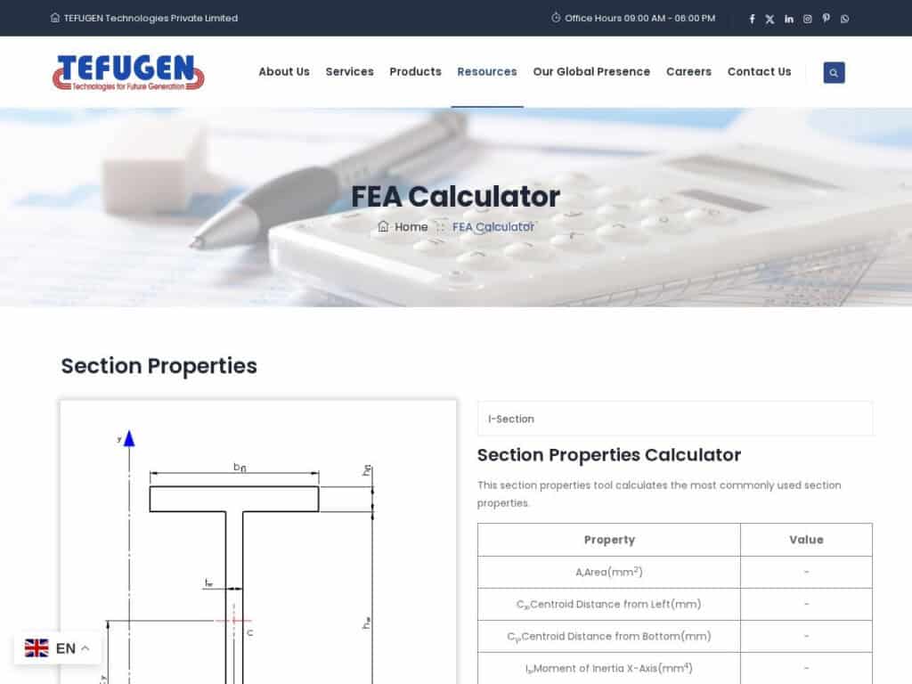
The Tefugen FEA calculator is a cloud-based engineering utility designed to perform Finite Element Analysis on mechanical components to predict physical responses to external forces. The service facilitates the simulation of structural stress, deformation, and thermal distribution by applying numerical methods to discretized geometric models. By processing user-defined inputs—including material properties like Young’s modulus, boundary conditions, and specific loading scenarios—the tool generates quantitative data on von Mises stress, displacement gradients, and safety factors, enabling the digital verification of design specifications prior to physical prototyping.Professionals in engineering, manufacturing, and quality assurance apply these computational results to mitigate structural risks and optimize resource allocation. Innovation teams leverage the simulation environment to refine […]