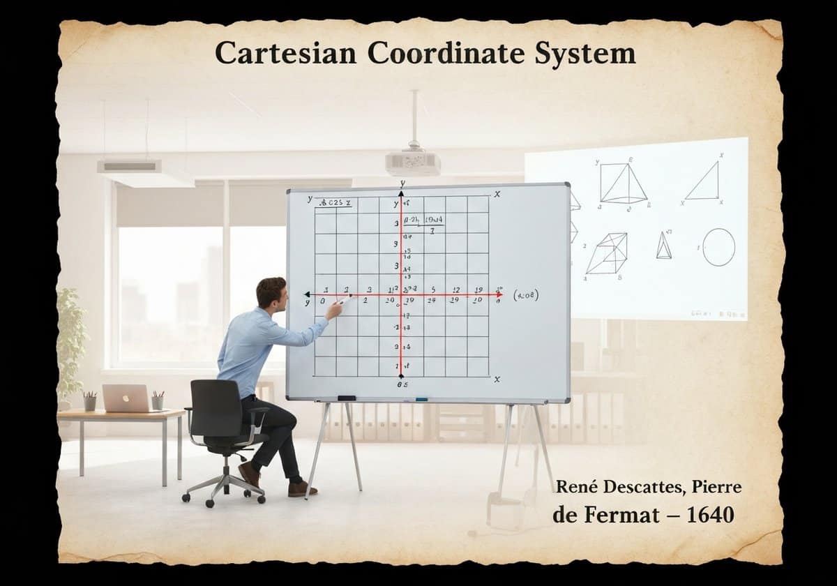
Hogar » Cartesian Coordinate System

Cartesian Coordinate System

1640
  • René Descartes
  • Pierre de Fermat

The Cartesian coordinate system provides an algebraic model for Euclidean geometry. It uses one or more numbers, or coordinates, to uniquely determine the position of a point in space. In a plane, two perpendicular lines (the x-axis and y-axis) are used, allowing geometric shapes to be described by algebraic equations. This fusion of algebra and geometry is known as analytic geometry.

Developed in the 17th century, the Cartesian system revolutionized mathematics by creating a powerful link between the previously separate fields of geometry and algebra. A point in a two-dimensional plane is represented by an ordered pair of numbers [latex](x, y)[/latex], representing its signed distances from the y-axis and x-axis, respectively. This allows geometric concepts to be translated into algebraic language. For example, a circle with center [latex](h, k)[/latex] and radius [latex]r[/latex] can be described by the equation [latex](x-h)^2 + (y-k)^2 = r^2[/latex]. A line can be described by a linear equation like [latex]y = mx + b[/latex].

This correspondence works both ways: algebraic equations can be visualized as geometric shapes. This analytic geometry allows for the solution of geometric problems using algebraic manipulation, which is often simpler and more powerful than the purely synthetic methods of classical Greek geometry. The system extends naturally to three dimensions with a third axis (z), and to higher-dimensional spaces (n-dimensional Euclidean space, [latex]\mathbb{R}^n[/latex]), which are fundamental in fields like physics, data science, and machine learning. The Euclidean distance formula, [latex]d = \sqrt{(\Delta x)^2 + (\Delta y)^2}[/latex], is a direct application of the Pythagorean theorem within this coordinate system, solidifying its status as the standard model for Euclidean space.

UNESCO Nomenclature: 1204
– Geometry

Tipo

Abstract System

Disruption

Revolutionary

Utilización

Widespread Use

Precursors

  • Euclidean geometry’s axioms and theorems
  • The development of algebra, particularly by Persian mathematicians
  • Apollonius of Perga’s work on conic sections
  • The concept of latitude and longitude in cartography

Aplicaciones

  • all forms of modern mapping and GPS
  • computer graphics, video games, and user interfaces
  • data visualization and statistical plotting
  • engineering and physics for modeling systems
  • robótica and machine vision

Patentes:

ESO

Potential Innovations Ideas

Membresía obligatoria de Professionals (100% free)

Debes ser miembro de Professionals (100% free) para acceder a este contenido.

Únete ahora

¿Ya eres miembro? Accede aquí
Related to: Cartesian coordinates, analytic geometry, René Descartes, algebra, geometry, coordinate system, x-y plane, Euclidean space

Deja una respuesta

Tu dirección de correo electrónico no será publicada. Los campos obligatorios están marcados con *

DISPONIBLE PARA NUEVOS RETOS
Mechanical Engineer, Project, Process Engineering or R&D Manager
Desarrollo eficaz de productos

Disponible para un nuevo desafío a corto plazo.
Contáctame en LinkedIn
Plastic metal electronics integration, Design-to-cost, GMP, Ergonomics, Medium to high-volume devices & consumables, Lean Manufacturing, Regulated industries, CE & FDA, CAD, Solidworks, Lean Sigma Black Belt, medical ISO 13485

Estamos buscando un nuevo patrocinador


¿Su empresa o institución se dedica a la técnica, la ciencia o la investigación?
> Envíanos un mensaje <

Recibe todos los artículos nuevos
Gratuito, sin spam, correo electrónico no distribuido ni revendido.

o puedes obtener tu membresía completa -gratis- para acceder a todo el contenido restringido >aquí<

Historical Context

(if date is unknown or not relevant, e.g. "fluid mechanics", a rounded estimation of its notable emergence is provided)

Related Invention, Innovation & Technical Principles

Scroll al inicio

También te puede interesar