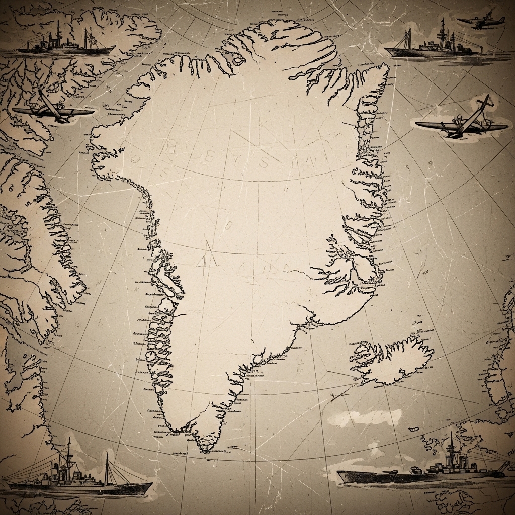
The image depicts an old map centered on Greenland and the surrounding Arctic region. Various ships and aircraft are illustrated around the edges, suggesting maritime and aerial exploration. Lines of latitude and longitude are visible, indicating navigation coordinates. The map includes labeled locations along the coastlines of Greenland and Iceland.