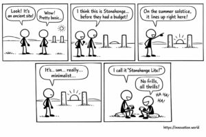
コミック:古代の投稿から、夏至の追跡に関する初期の記録が明らかに
今日のニュースに対する私たちの笑顔の見解:研究者たちが、太陽と一直線に並ぶ2本の柱を備えた原始的な記念碑を発見しました。
A GPS receiver computes its position from the travel time of signals sent by at least four satellites. Three fix the location, the fourth corrects the receiver clock. Accuracy depends on satellite geometry, atmospheric delay and multipath, and it improves from metres to centimetres with differential or real-time kinematic corrections.
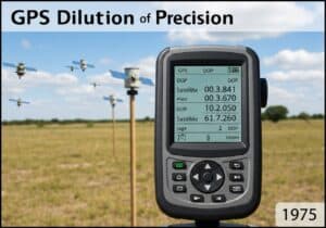 Research digests under this tag follow the main applications. Precision agriculture steers machines along repeatable lines. Autonomous vehicles combine satellite position with other sensors. Geographic information systems store what is measured. Two security digests, on information security and encryption, are tagged as well.
Two short articles add colour: a set of aerial views that only drones can capture, and a note on coordinate plates repeated across an airport. Related: 航空 そして 農業.
今日のニュースに対する私たちの笑顔の見解:研究者たちが、太陽と一直線に並ぶ2本の柱を備えた原始的な記念碑を発見しました。

ドローンなら、ヘリコプターですら捉えられない景色を映し出せる。厳選したおすすめ映像。世界初、酸素マスクなしでエベレスト山頂からのスキー
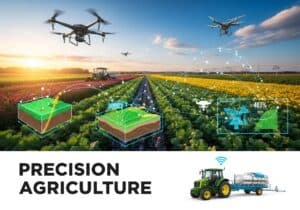
This week: UAV control, virtual flight space, object transportation, processor management, drone delivery, unmanned aerial vehicles, electronics circuit module, wing
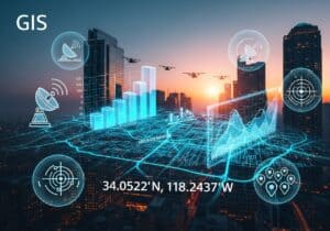
This week: authentication, biometric, cryptography, zero-knowledge proof, shift register, gate driving circuit, display apparatus, compensation circuit, gastric cancer, dissemination probability,

今週のテーマ:認証、生体認証、暗号学、ゼロ知識証明、オブジェクトクラス、暗号化、コンテキストデータ、メディア処理、メタデータ、シグナリング、プロトコル、エントロピー、ランダムアクセス、

This week: authentication, biometric, cryptography, zero-knowledge proof, object class, encryption, contextual data, media processing, TEAP, authentication, wireless networks, security capabilities,

This week: Lidar, piezoelectric actuator, mirror rotation, laser beam, LiDAR, optical processing, photosensitive units, depth information, LiDAR, scanning modules, vehicle,
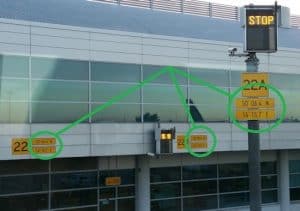
…あるいは、空港で官僚主義や規制が常識に優先してしまうような時でしょうか? これらの一様で画一的な緯度・経度の座標表示板は、