Últimos terremotos del USGS comparados con EMSC, VolcanoDiscovery y Earthquake Track| Últimos terremotos del USGS | EMSC | VolcanoDiscovery | Earthquake Track |
|---|
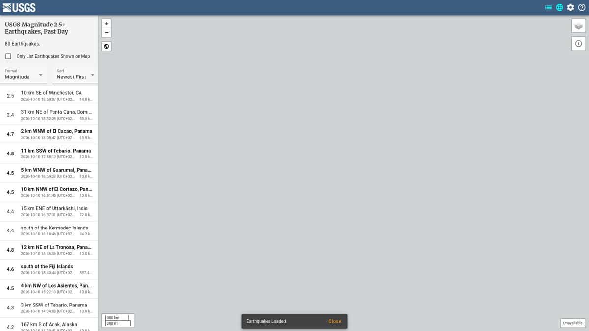
| Role and data origin: The map is a front end to the ANSS ComCat earthquake catalog maintained by the US Geological Survey. The catalog can be searched by location, time, magnitude and depth through the FDSN event web service. | Role and data origin: EMSC is a non-profit founded in 1975 and based in France, with 75 member institutes in 56 countries. It combines contributions from member seismological institutes with crowdsourced felt reports, so it is a regional aggregator and not a single national network. | Role and data origin: The site is run by the company of a volcanologist and lists data mainly from agencies such as USGS, GFZ and EMSC, from more than 25 sources according to the app page. It adds volcano news and volcanic ash advisories to the earthquake lists. | Role and data origin: The site credits USGS as its data source in the page footer. It republishes that catalog as lists, regional pages and rankings instead of producing its own solutions. |
| Geographic priority: The map shows events worldwide. The set of events reflects detections by the USGS network and its partners. | Geographic priority: The priority region is Europe, North Africa and the Middle East, with global coverage for magnitude 4.5 and above. This makes it the more complete choice for the Euro-Mediterranean area. | Geographic priority: The free version of the app lists worldwide earthquakes from magnitude 2.7. Filters cover magnitude, age, distance and volcano status. | Geographic priority: Regional pages exist for areas such as Southern California, the Pacific Northwest, Japan and New Zealand, plus countries and US states. Counts start at magnitude 1.5 over the last 24 hours, 7, 30 and 365 days. |
| Machine access: Data is available as GeoJSON, CSV, KML and QuakeML. The map page also points to ATOM feeds, for example magnitude 2.5 and above for the past day, which suits scripts and monitoring tools. | Machine access: The event service is hosted at seismicportal.eu and follows the FDSN event standard. EMSC also publishes GeoJSON and QuakeML, with an OpenAPI 3.0 specification to help build queries. | Machine access: The pages checked describe an app and a website with alerts for user-defined locations, and they do not describe an API or a download service for scripts. | |
| Cost, licence and apps: The USGS data is free to use, and the page lists a feed for software developers. No account is required to read the map. | Cost, licence and apps: Catalog and API data are open and free to use with attribution. The LastQuake mobile app and Telegram and Twitter bots provide alerts. | Cost, licence and apps: The website carries advertising. The app is free to try, with an upgrade option, is offered for iOS and Android, and the company also sells volcano tours. | Cost, licence and apps: Optional sign-in accounts are offered. The pages checked mention no mobile app. |
| Reliability notes: Early values for a new event can change as the event is reviewed, so parameters should be re-read before they are stored in a monitoring system. | Reliability notes: EMSC states that magnitudes, locations and depths are automatic and preliminary and may be revised within hours. Different agencies may publish different solutions for the same event. | Reliability notes: Because the lists draw on many agencies, the magnitude or location shown may come from a different source than the one you expect. The original agency should be checked for official values. | Reliability notes: Since it relays USGS data, it cannot show events that USGS does not list. |