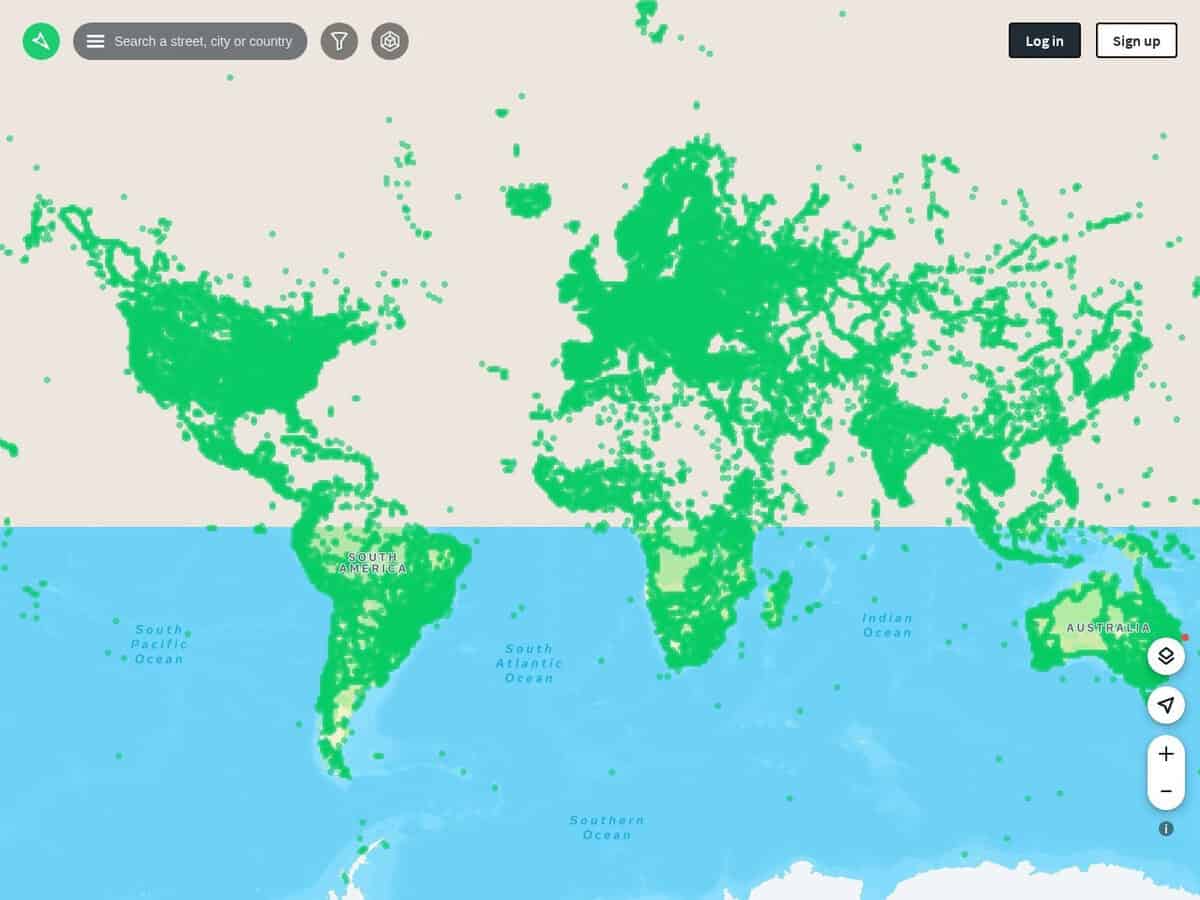
Mapillary compared with Google Street View and KartaView| Mapillary | Google Street View | KartaView |
|---|
| Licence and reuse: Images are shared under CC BY-SA, so they can be redistributed and adapted with attribution and share-alike terms. Contributors keep their rights but grant Mapillary the right to use the images commercially. | Licence and reuse: Access goes through Google Maps Platform. Each request needs an API key or OAuth token and a billing-enabled project, so reuse is governed by Google platform terms and not by an open licence. | Licence and reuse: Images can be used under CC BY-SA 4.0 according to the OpenStreetMap wiki. The server backend and recent apps are proprietary, and only obsolete parts of the apps and command-line tools are MIT licensed. |
| 프로그램 접근: API v4 serves images, sequences, map features and detections through graph.mapillary.com and vector tiles through tiles.mapillary.com, with a client or user token. Limits are 60,000 Entity requests and 10,000 Search requests per minute per app, and 50,000 tile requests per day. Image searches are restricted to bounding boxes under 0.01 degrees square. | 프로그램 접근: The Static Street View and Static Street View Metadata APIs are billed under the Essentials tier. Images can be requested at up to 640 x 640 pixels, which limits large-scale analysis. | 프로그램 접근: The OpenStreetMap wiki describes a website, mobile apps, a JOSM plugin and upload tools, but no public API. Batch download was not available as of June 2020. |
| Derived data for engineering use: Map feature tiles expose point features and traffic signs, and the detections entity links them to images. This suits road asset inventories and training data for autonomous driving, as with the 25,000-image Mapillary Vistas dataset released in 2017. | | |
| 소유권 및 지위: Meta acquired Mapillary in June 2020 and the service is developed in Malmo. The API changelog has an entry dated 26 June 2026, so the platform is actively maintained. | | 소유권 및 지위: Grab is listed as the author, after Telenav transferred the platform in December 2019. The last confirmed app releases date from May 2024, and the wiki notes the Mapillary sync tool has been defunct since 2023, so current activity is unclear. |
| 비용: Commercial use has been free of charge since the Meta acquisition. | 비용: Billing is per request. Free monthly calls are set per SKU (10,000 for the Essentials plan), and the unit price is given in the Google core services price list. | |