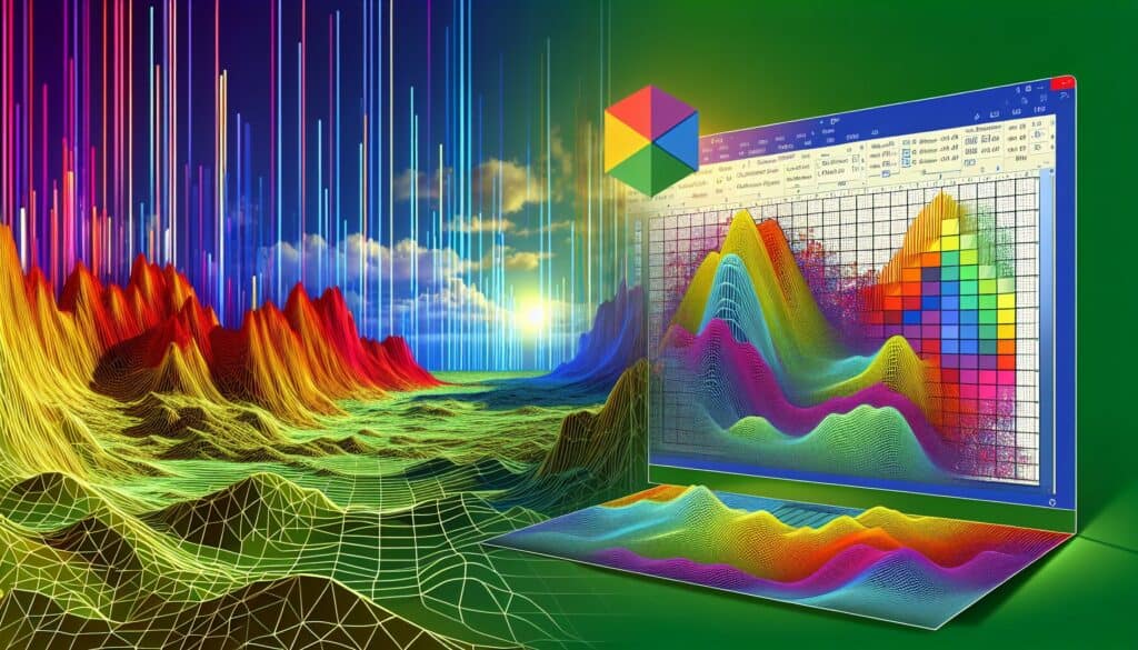
Surfer is a gridding, contouring, and 3D surface mapping software that integrates with Excel for data input and can be used for visualizing spatial data.
Golden Software Surfer
- Excel
- Grafica 3D, Ingegneria Civile, Analisi dei dati, Ecologia e sostenibilità, Geotecnica
- 3D, Ingegneria Ambientale, Apprendimento automatico, Analisi statistica
Caratteristiche:
- Contour mapping, 3D surface mapping, gridding algorithms (kriging, triangulation, etc.), DEM creation, volume calculations, watershed analysis, vector data handling, image display, direct data linking with Excel, base map creation
Prezzi:
- Pagato
- Powerful for creating professional contour maps and 3D surface visualizations from XYZ data, wide range of gridding and interpolation methods, good for earth sciences and environmental modeling, strong Excel data integration.
- Commercial software, specialized for spatial data mapping and analysis, learning curve for advanced gridding and mapping techniques.
Ideale per:
- Geoscientists, environmental scientists, hydrologists, and engineers working with spatial XYZ data to create contour maps, surface plots, and perform gridding operations, with strong Excel data import capabilities.