رسوم هزلية: منشورات قديمة تكشف عن تتبع مبكر للانقلاب الشمسي
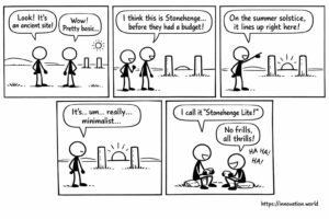
Our smiling view on today’s news: Researchers have uncovered a rudimentary monument featuring two posts that align with the sun
Our smiling view on today’s news: Researchers have uncovered a rudimentary monument featuring two posts that align with the sun

عندما تسمح الطائرات بدون طيار بمناظر لن تسمح بها حتى طائرات الهليكوبتر. أفضل اختياراتنا أول تزلج في العالم على قمة إيفرست من القمة بدون أكسجين

This week: unmanned aerial vehicles, signal strength indicator, base station, power saturation, target following, unmanned aerial vehicle, panoramic imaging, object

This week: location management, low orbit satellite, communication services, terminal-specific information, Artepillin C, naringenin, beta-carotene, metabolic disorder, Vertical Federated Learning,

This week: cybercrime, resilience, organizational theory, network science, authentication, encryption, password management, user input, key generation, signature generation, trapdoor function,

This week: composite flooring, fibre reinforced polymer, multilayer assembly, modular panel dimensions, key generation, signature generation, trapdoor function, pseudo-random function,

This week: focal plane array, lidar device, signal light beam, interference light beam, autonomous vehicles, artificial intelligence, data collection, control
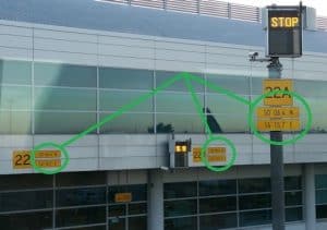
… or when bureaucracy or regulation takes over common sense in the airport? These latitude/longitude coordinates plates, all the same,