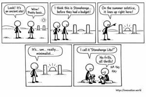
رسوم هزلية: منشورات قديمة تكشف عن تتبع مبكر للانقلاب الشمسي
Our smiling view on today’s news: Researchers have uncovered a rudimentary monument featuring two posts that align with the sun
Our smiling view on today’s news: Researchers have uncovered a rudimentary monument featuring two posts that align with the sun

This week: video link security, spatial parameterization, temporal parameterization, aircraft systems, machine learning, statistical downscaling, extreme weather, generative diffusion models,

This week: flapping wing, electromagnet, microcontroller, UAV, security monitoring, UAV detection, geographic area, sensitivity adjustment, Object Detection, State Space Model,

This week: thermal conductivity, polymer composites, filler networks, bimodal systems, AI tasks, predictive algorithm, bitwise operations, non-transitory storage, placenta-on-a-chip, fluidic
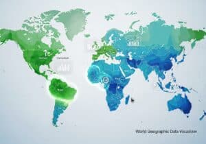
تسمح أداة الخرائط العالمية المجانية innovation.world هذه بتصور ومقارنة أي بيانات عن كل بلد على حدة مباشرة في متصفحك. مع

This week: LiDAR, photodetector, near-field detection, optical receiver, LiDAR, performance evaluation, point cloud, test target, time-of-flight, LiDAR, photon detection, distance

This week: machine learning, retraining, hyperparameter tuning, data processing, IO-component, control device, communication protocol, middleware variables, 3D Building Individualization, SAMPolyBuild,
This week: payment processing, AI integration, transaction reconciliation, risk assessment, VoIP, geolocation, Caller ID, communication security, network selection, geolocation data,