خريطة ذهنية للذكاء الاصطناعي

Enter your concept or a few words, and this tool will explore and display a mindmap of it, that you can manipulate and update afterwards. To be used in marketing or product design ideation stage.No registration for the first visit.The free tier (“Basic”) includes 5 GPT 3.5 requests per day, 1 file upload, no image […]
مركز وموارد الذكاء الاصطناعي للوجوه المعانقة

THE place where AI users, dev & researchers meet.This platforms host open sources models, that many can be tested as full free applications (ex.: FLUX 1 dev), a huge collection of datasets that can be used to train your models, and one of the biggest AI dedicated community exchange and forums.Text-to-image, to video, to music, […]
أفكار لمولد معلومات التطبيق
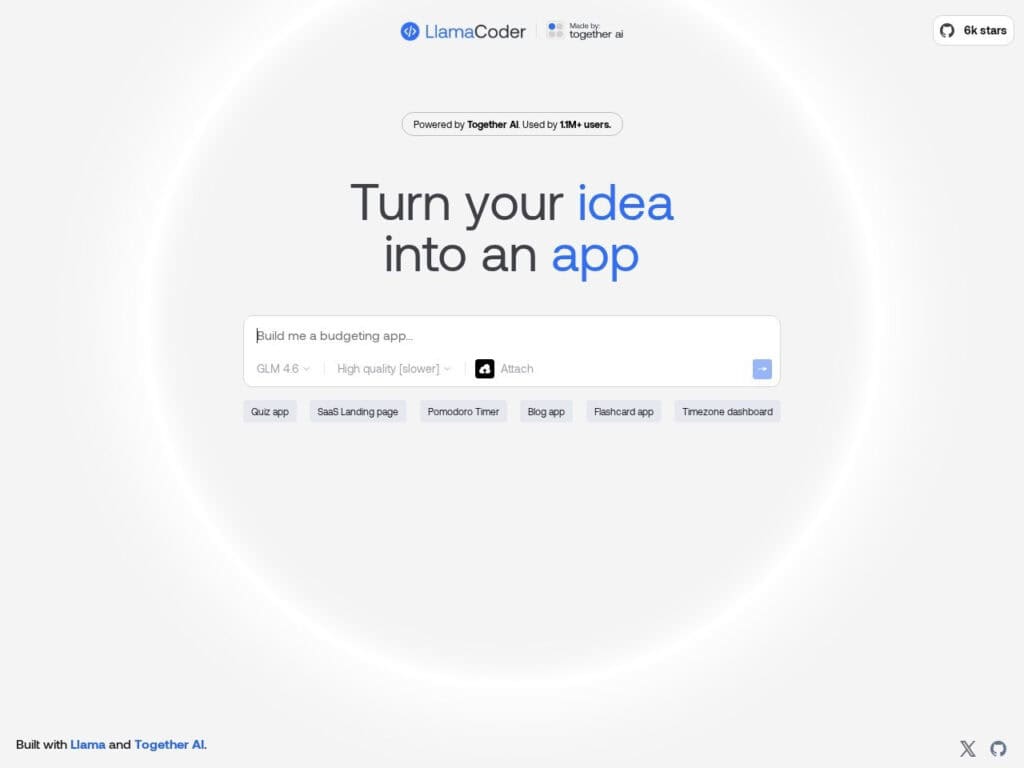
Turn you ideas into a React app, thanks to the Llama AI model. Good for a quick mock-up or to get a template to build on. You will like need several iterations. It permit to transfer directly the code and test in SandBox.
مقارنة بين برامج الدردشة الآلية
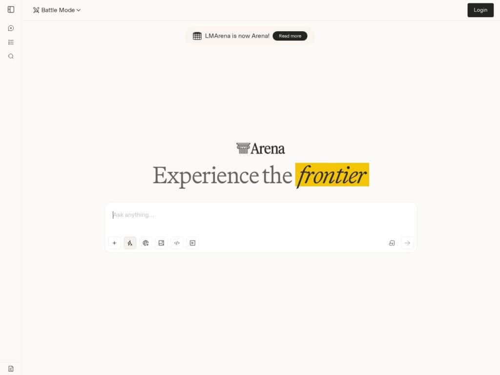
Evaluating current online AI models through human preference is the promise, and it does it well. It takes all most recent AI online tools and rank them according to several criteria and purposes, such as: overall performances, math, creative writing, coding and much more, including the language used. Yes, this is human-vote driven, and thus […]
واجهة OpenRouter الموحدة لاستخدام العديد من وحدات LLM
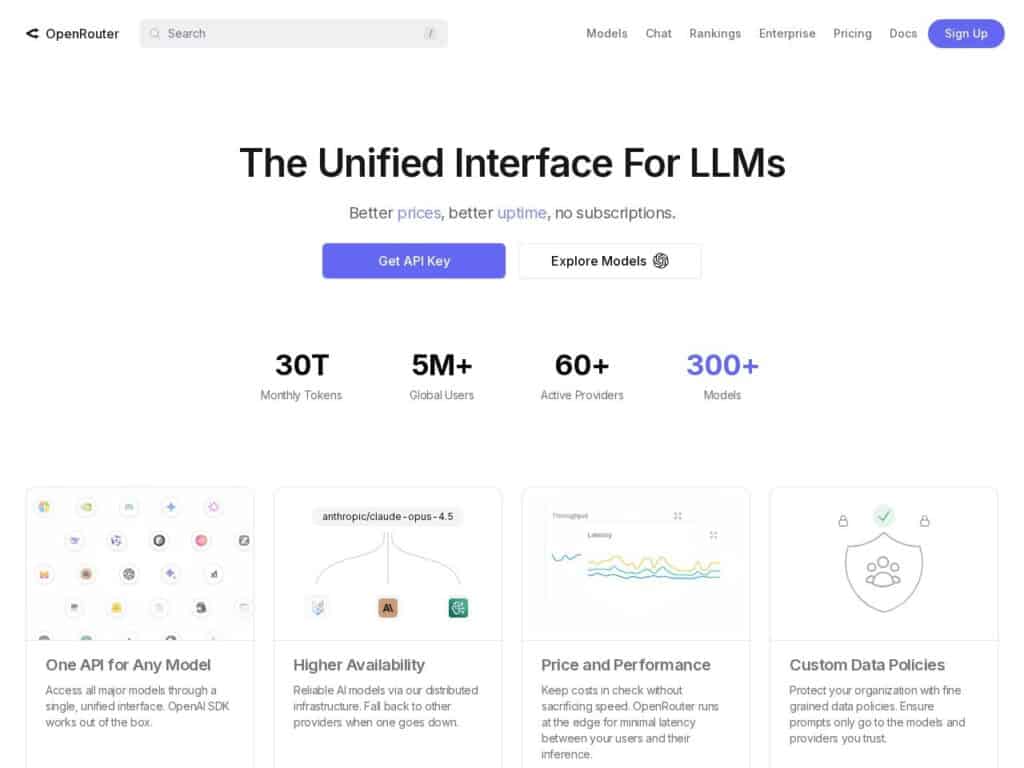
Test and use a lot of Large Language Model (LLM) from a single location and interface. Their LLM list is easily sortable, with price, type, language and many other selectors.Very convenient to test the latest LLM hype or hidden jewels without tons of registration.Price depends on the LLM model selected, with several free … but […]
خريطة مترجمي البث الفرنسي
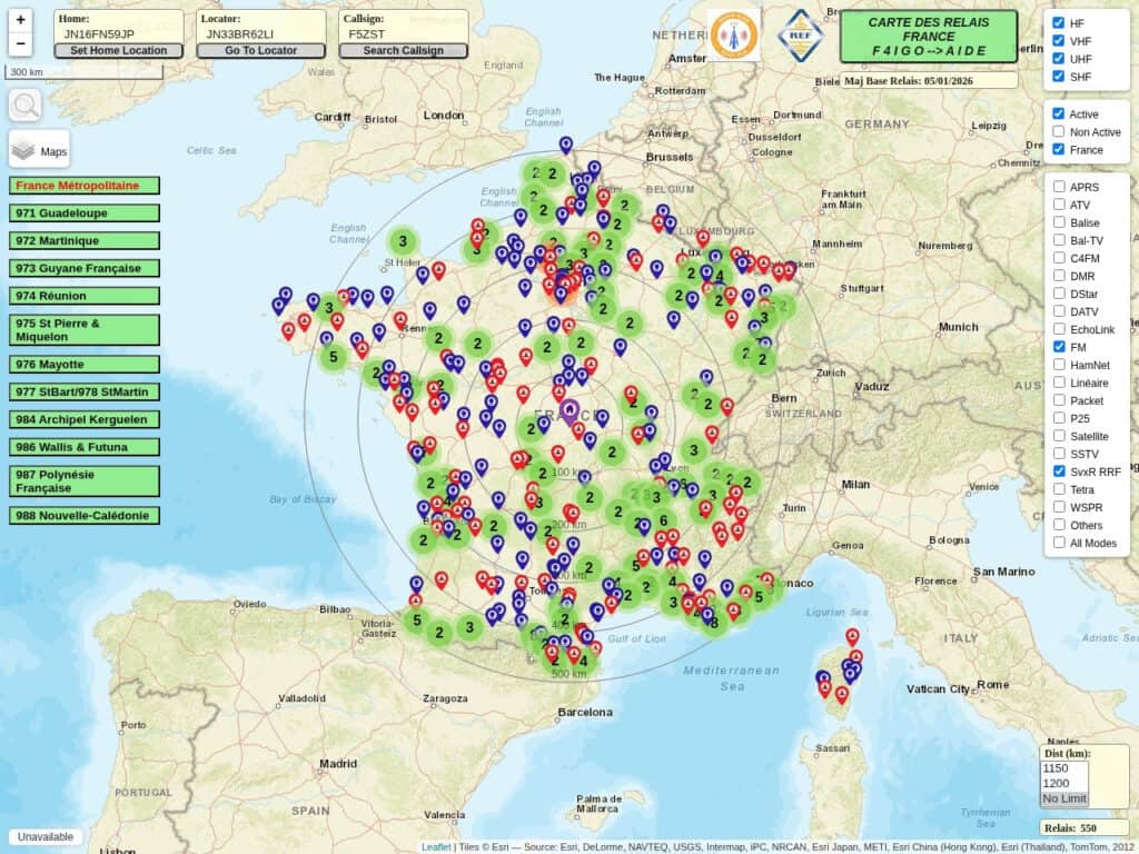
Over 1500 translators / relays in France, Belgium and North Italy available to radio amateurs (Hams) for Aprs, D-Star, C4FM, DMR, Svx, Echo-Link, SvxR, Atv, Datv….In the following selectable bands:HFVHFUHFSHFIt has many Locator search and data tools.
برنامج محاكاة نطاق Meshtastic (مخطط الموقع)
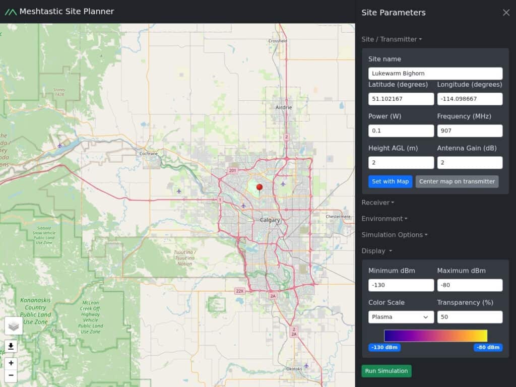
Enter your location, either on a map or Latitude/Longitude, your elevation, your emission characteristics (power, antenna gain, frequency), and it will calculate your theoretical LoRa / Meshtastic range. This is based on elevation terrain data from the NASA SRTM (Shuttle Radar Topography) mission, not taking into account obstructions such as buildings or trees.
بحث Creative Commons / CC
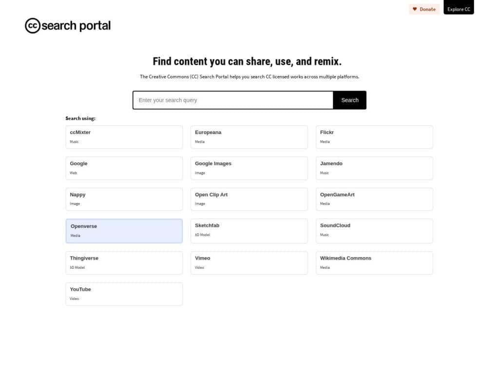
Search over the Creative Common partners for free content, mainly images (more than 500 million!). Only two initial options: can be used commercially can be modified or adapted But once you have the results, you can filter with the exact license you require.
محاكاة السوائل المرئية عبر الإنترنت
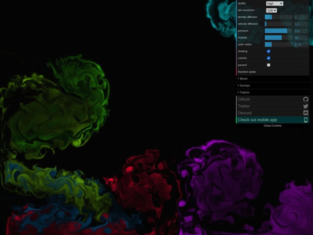
Put the settings to the max, drag the mouse on the screen … and enjoy the fluid simulation vortex thanks to WebGL. Is it very useful … likely not. Is it great, definitively YES!
صور مجانية من بيكسلز
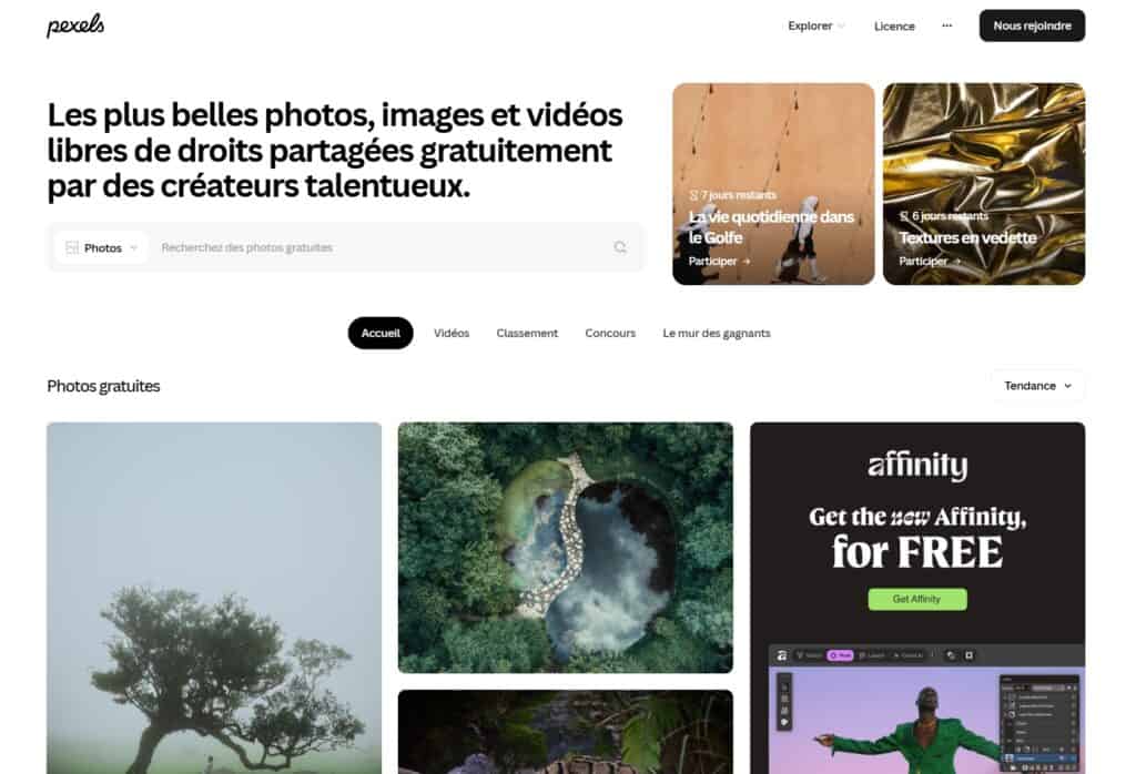
Millions of pictures. Check the license, but at time of writing: free to use no attribution required (but possible and appreciated) modification possible