لتشغيل إجراء عند دخول جهاز إلى الحدود الافتراضية أو خروجه منها.
- المنهجيات: العملاء والتسويق, الاقتصاد
السياج الجغرافي
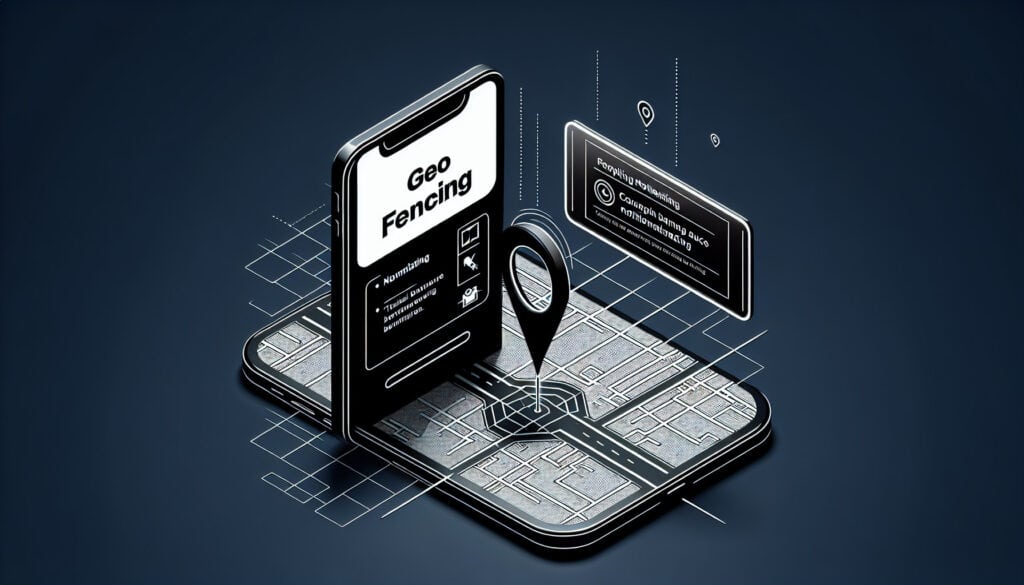
السياج الجغرافي
- تجربة العملاء, التسويق الرقمي, نظام المعلومات الجغرافية (GIS), النظام العالمي لتحديد المواقع (GPS), تسويق, تحديد الهوية بموجات الراديو اللاسلكية, تجربة المستخدم (UX), واجهة المستخدم (UI)
الهدف:
كيفية استخدامه:
- خدمة قائمة على الموقع الجغرافي يستخدم فيها تطبيق أو برنامج آخر نظام تحديد المواقع العالمي (GPS) أو RFID أو Wi-Fi أو بيانات خلوية لتشغيل إجراء مبرمج مسبقاً عندما يدخل جهاز محمول أو علامة RFID أو يخرج من حدود افتراضية تم إعدادها حول موقع جغرافي، والمعروفة باسم السياج الجغرافي.
الايجابيات
- يسمح بإرسال رسائل تسويقية عالية الاستهداف وفي الوقت المناسب؛ يمكن أن يؤدي إلى زيادة حركة المرور إلى المتاجر الفعلية.
سلبيات
- يمكن أن يثير مخاوف تتعلق بالخصوصية؛ تعتمد الفعالية على تمكين خدمات الموقع الجغرافي للمستخدمين.
الفئات:
- العملاء والتسويق
الأفضل لـ
- إرسال رسالة ترويجية إلى هاتف العميل عندما يكون بالقرب من أحد متاجر البيع بالتجزئة.
تجد تقنية السياج الجغرافي تطبيقًا واسعًا في قطاعات البيع بالتجزئة والعقارات والنقل وإدارة الفعاليات، مما يعزز مشاركة العملاء والكفاءة التشغيلية. أثناء مرحلة التصميم والتطوير، يمكن أن يتضمن دمج السياج الجغرافي التعاون بين مديري المنتجات والمطورين وفرق التسويق لإنشاء إرشادات استراتيجية للعروض القائمة على الموقع. على سبيل المثال، يمكن لمنظمي الفعاليات الاستفادة من السياج الجغرافي لتعزيز الحضور من خلال إرسال إشعارات أو تذكيرات للحضور عند اقترابهم من المكان، في حين قد تقوم الوكالات العقارية بإخطار المشترين المحتملين بشأن العقارات المتاحة في المناطق المجاورة لهم. خلال مرحلة بدء المشروع، يجب على أصحاب المصلحة تحديد أهداف واضحة فيما يتعلق بتجربة المستخدم والنتائج المرجوة، مع ضمان معالجة المخاوف المتعلقة بالخصوصية من خلال التواصل الشفاف حول استخدام البيانات. في قطاع النقل، يمكن للشركات تحسين خدماتها اللوجستية من خلال إنشاء سياج جغرافي حول مراكز التوزيع، وإطلاق تنبيهات عند دخول المركبات إلى مناطق محددة أو مغادرتها، مما يسمح بإدارة أفضل للعمليات والموارد. وبالإضافة إلى ذلك، يمكن استخدام السياج الجغرافي في برامج الولاء، حيث يحصل العملاء على مكافآت عند دخول المتجر، مما يشجع على تكرار الزيارات ويعزز الشعور بالانتماء للمجتمع حول العلامات التجارية. قد يكون من الضروري مشاركة محللي البيانات لتفسير مقاييس تفاعل المستخدمين، والتي يمكن أن تؤدي إلى اتخاذ قرارات مستنيرة لتعديل الحملات وتحسينها.
الخطوات الرئيسية لهذه المنهجية
- تحديد معلمات السياج الجغرافي مثل نصف القطر والحدود الجغرافية.
- تطبيق تقنية GPS، أو RFID، أو Wi-Fi لإنشاء تتبع الموقع.
- تطوير تطبيق أو منصة لإدارة مشغلات السياج الجغرافي والاستجابات.
- قم بإنشاء محتوى ترويجي ليتم إرساله عند دخول المستخدمين إلى السياج الجغرافي أو الخروج منه.
- دمج آليات موافقة المستخدم للامتثال لخصوصية البيانات.
- اختبر وظيفة السياج الجغرافي وتأكد من دقة تغطية المنطقة.
- أطلق حملة السياج الجغرافي وراقب الأداء في الوقت الفعلي.
- اضبط معلمات السياج الجغرافي أو المحتوى الترويجي بناءً على بيانات تفاعل المستخدم.
نصائح للمحترفين
- قم بدمج تحليلات البيانات في الوقت الفعلي لتحسين معلمات السياج الجغرافي بناءً على سلوك العملاء وتحليل حركة المرور على الأقدام.
- اختبر فعالية الرسائل وحسِّنها من خلال اختبار أ/ب للحملات الترويجية المختلفة في مناطق جغرافية محددة.
- تأكد من الامتثال للوائح الخصوصية من خلال توفير خيارات اشتراك واضحة وسياسات استخدام بيانات شفافة للمستخدمين.
لقراءة عدة منهجيات ومقارنتها, نوصي باستخدام
> مستودع المنهجيات الشامل <
مع أكثر من 400 منهجية أخرى.
نرحب بتعليقاتكم على هذه المنهجية أو المعلومات الإضافية على قسم التعليقات أدناه ↓، وكذلك أي أفكار أو روابط متعلقة بالهندسة.
السياق التاريخي


1992
1996
1998
2000
2000
2003
2013-09-24
1992
1994
1997
1999-05-01
2000
2002
2013


(إذا كان التاريخ غير معروف أو غير ذي صلة، على سبيل المثال "ميكانيكا الموائع"، يتم تقديم تقدير تقريبي لظهوره الملحوظ)
منشورات ذات صلة
إدارة عمليات التصنيع (MOM)
نظام تنفيذ التصنيع (MES)
خطة مراقبة التصنيع
الاختبار اليدوي
مخططات تقييم المناولة اليدوية (MAC)
أداة تقييم مخاطر المهام اليدوية (ManTRA)